If we were to ask you which was the highest mountain on earth, what would you say? We are guessing you answered “Mount Everest”? The true answer is that it all depends on your datum for reference.
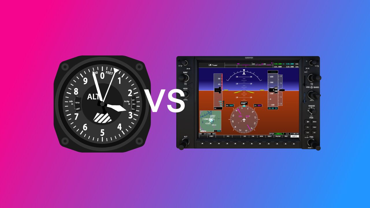
And herein lies the rub. There is also a difference between Altimeter vs. GPS altitude, and there are some important differences to cover. Today we’ll discuss these differences and tell you how both systems work.
Altimeters measure pressure altitude above a given datum and have to be calibrated to be accurate. GPS altitude is derived from a receiver that times signals from multiple satellites to work out your distance from the ground.
There are pros and cons to each system. Let’s look at both in a little more detail.
Key Takeaways
- Altimeters use air pressure and need calibration to show accurate altitude.
- GPS calculates altitude from satellite signals using a global model.
- Altimeters are required for ATC; GPS adds situational awareness.
- Expect differences between the two due to datums and conditions.
What’s the Difference Between Altimeter and GPS Altitude?
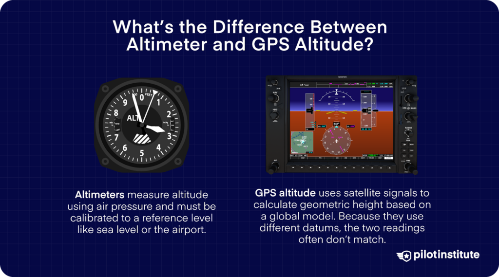
Here’s a simple explanation of the differences:
- Altimeters measure altitude using air pressure and must be calibrated to a reference level like sea level or the airport.
- GPS altitude uses satellite signals to calculate geometric height based on a global model. Because they use different datums, the two readings often don’t match.
Pilots rely on pressure altimeters for ATC compliance and use GPS as a helpful secondary reference. Now let’s explore these in greater detail.
Altimeters: How They Work
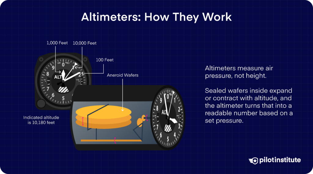
While used to measure height, Altimeters are actually sophisticated and calibrated barometers that are actually designed to measure air pressure. We calibrate an altimeter by telling it the air pressure at a given level, usually the surface or sea level.
The inner workings of an altimeter are quite simple. They normally consist of sealed bellows (or ‘aneroid wafers’ if you prefer) that expand and contract based on the air pressure outside the aircraft.
A tiny amount of this air is fed to the altimeter through the static ports and lines into the body of the altimeter.
When the aircraft climbs, the wafers expand, just like your bag of chips on a commercial flight. Using some clever cogs and gears, the altimeter measures this expansion. It presents the data on a calibrated dial, visible to the pilot.
Altimeters are normally calibrated to a specific datum. The pressure at this datum is what we use to set an altimeter. These datums can change and indicate different things depending on where you are flying. They are as follows: –
| Altimeter Setting Datum | Altimeter Displays | Measures Distance Above | Most Commonly Used |
| QNH | Altitude | Sea Level | Flying cross-country |
| QFE | Height | Aerodrome Elevation | Within the traffic pattern |
| Standard (29.92Hg) | Flight Level | Transition Altitude | Long distances in busy airspace |
What is the difference between “altitude” and “height”? It’s quite simple:
- “Altitude” – This is always referenced to your distance (in feet) from sea level. In theory, if you were to land on the sea, your altimeter should read zero.
If you landed on an airfield that was on a cliff, your altimeter, with QNH set, would read something like 300ft (or whatever ‘altitude’ the cliff top was at)
- “Height” – This is always referenced to your distance (in feet) above the airfield.
Again, using the above example, if you landed at an airfield located on a 300 ft cliff, your altimeter should read zero when you touch down as you have calibrated your altimeter to the QFE datum of the airfield, not to sea level.
Benefits of Pressure Altimeters
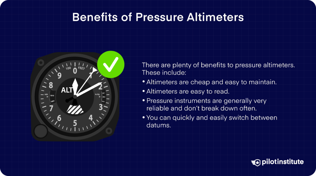
There are plenty of benefits to pressure altimeters. These include:
- Altimeters are cheap and easy to maintain.
- Altimeters are easy to read.
- Pressure instruments are generally very reliable and don’t break down often.
- You can quickly and easily switch between datums.
Are Pressure Altimeters Accurate?
Pressure altimeters are pretty accurate to a point. They do have a few drawbacks that you need to be careful of.
- Temperature Error – The drop in air pressure is not always linear. On warm days the air is less dense, so what your altimeter thinks is ‘1000ft’ might, in fact, be more like 1,500 feet.
Conversely, the air is very dense on cold days, and the pressure changes more quickly with altitude. As a result, you may actually be a lot lower than your altimeter is telling you. - Blockages and Mechanical Errors – The altimeter needs a steady ambient airflow from the static ports.
If these ports are blocked or damaged, they won’t register air pressure changes correctly. Altimeter blockages can cause severely dangerous situations.
You must check your static ports before each flight.
- User Error – If you found the above regarding QNH, QFE, and standard confusing, you would be in good company. Pilots setting incorrect altimeter datums can lead to severely bad outcomes.
- Pressure Errors – Static ports need ambient air that is not moving. Unfortunately, aircraft need to be moving to fly. Can you see the dilemma? Strong winds, prop wash, and turbulence can all disrupt ambient air supply, meaning that the altimeter doesn’t give an accurate reading.
GPS: How it Works
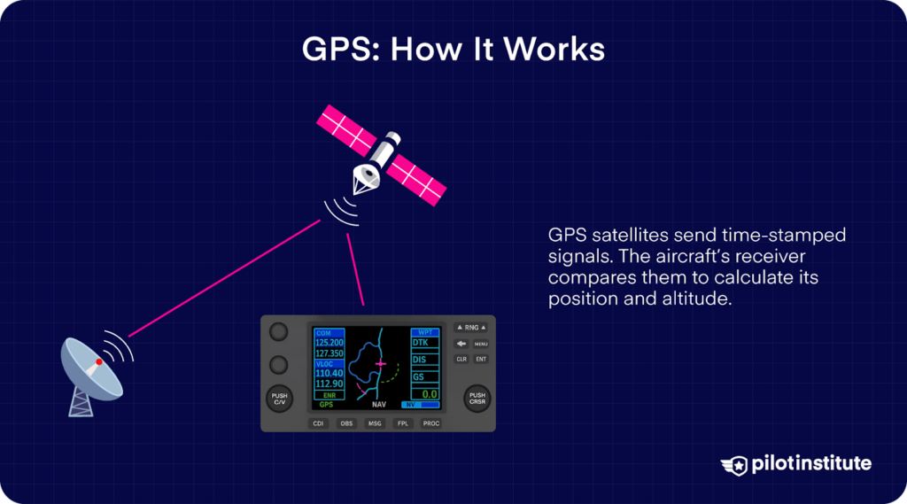
GPS altitude is a different beast entirely and uses very different technology to determine how high the aircraft is.
Surrounding the globe are a series of communication satellites locked in orbit. Satellites in the sky sends signals with a timecode.
The GPS receiver in the aircraft receives that timecode and compares it to the actual time.
Based on how long the signal takes to return, some innovative equipment on board the aircraft can work out where the aircraft is (based on a database called WGS-84) and subsequently, its geometric height or altitude.
It is possible to set the ‘datum’ to show either your height over terrain or your altitude above mean sea level too.
Benefits of GPS Altitude
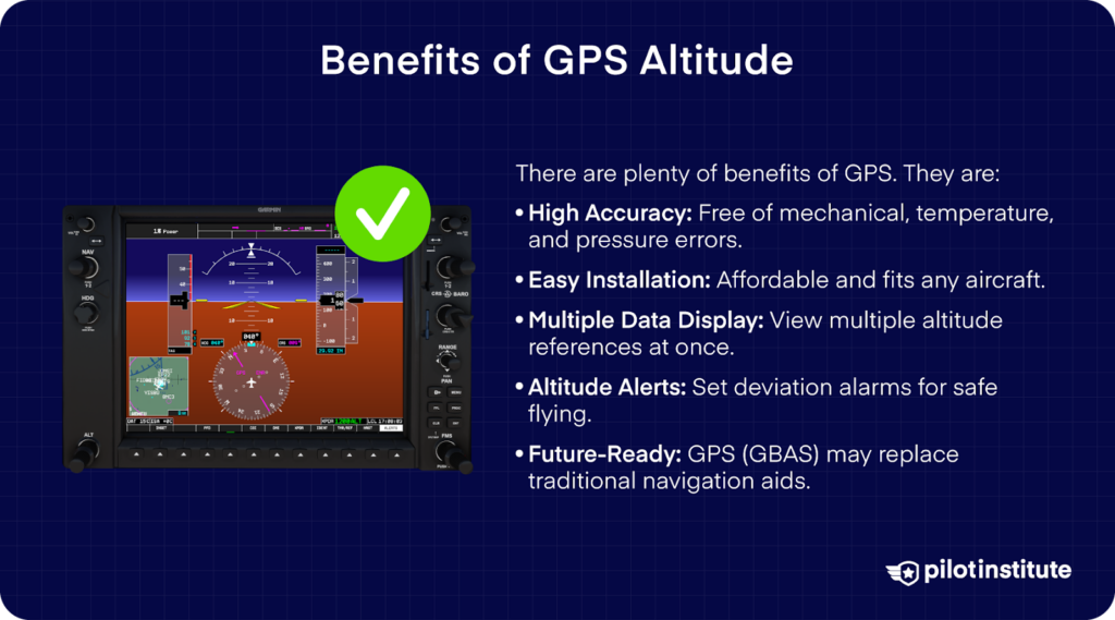
GPS has its own series of pluses and foibles. Here’s why it is so great.
- Extremely high accuracy, free of mechanical errors.
- Not affected by temperature and pressure errors.
- Relatively affordable and easy to fit to any aircraft.
- The ability to display more than one datum at once.
- GPS receivers often can set altitude deviation alarms to alert you from going too high or low.
There is no such thing as a ‘perfect’ system, and GPS is no exception. When it works, it is highly accurate. In fact, there are currently plans to eventually replace conventional aviation navigation aids with GPS (GBAS) landing systems.
However, GPS altitude can be affected by the following:
- Ionospheric errors – The Earth is surrounded by layers of a dense atmosphere that change in size and thickness depending on solar activity and the time of day. This can cause minor altitude errors.
- Clock errors – GPS clocks are phenomenal. However, even a minuscule disruption to their timing can cause errors. This doesn’t happen often, and GPS receivers normally discard a timing signal they recognize as erroneous.
- Rounding errors – Generally, these errors are small, but in an aircraft, precision matters.
- Satellite signal loss – Like any piece of electrical equipment, Satellites do sometimes stop working or are rebooted.
For a GPS to provide accurate altitude readings, it needs multiple satellites, normally four. If the fourth drops out at a critical time, this could cause issues. - Not everyone has a GPS – This is the big one. While you might be happily flying around at GPS altitude, not everybody will be.
Current aircraft systems (such as the transponder) currently use barometric (altimeter-based) altitude to relay information to ground-based air traffic control systems.
The end result is that air traffic control will expect you to fly according to the local pressure setting, not that of your GPS. This could potentially put you in conflict with other traffic
Conclusion
Both altimeters and GPS have good and bad points. While GPS is more accurate, ‘steam-driven’ barometric instruments are generally much more reliable and are tried and tested.
Most air traffic control units and other aircraft will expect you to stick to the ‘good old’ QNH when flying away from your home field.
However, GPS can be a very useful situational awareness tool. Want to learn more about altitude? Here’s a great guide.