-
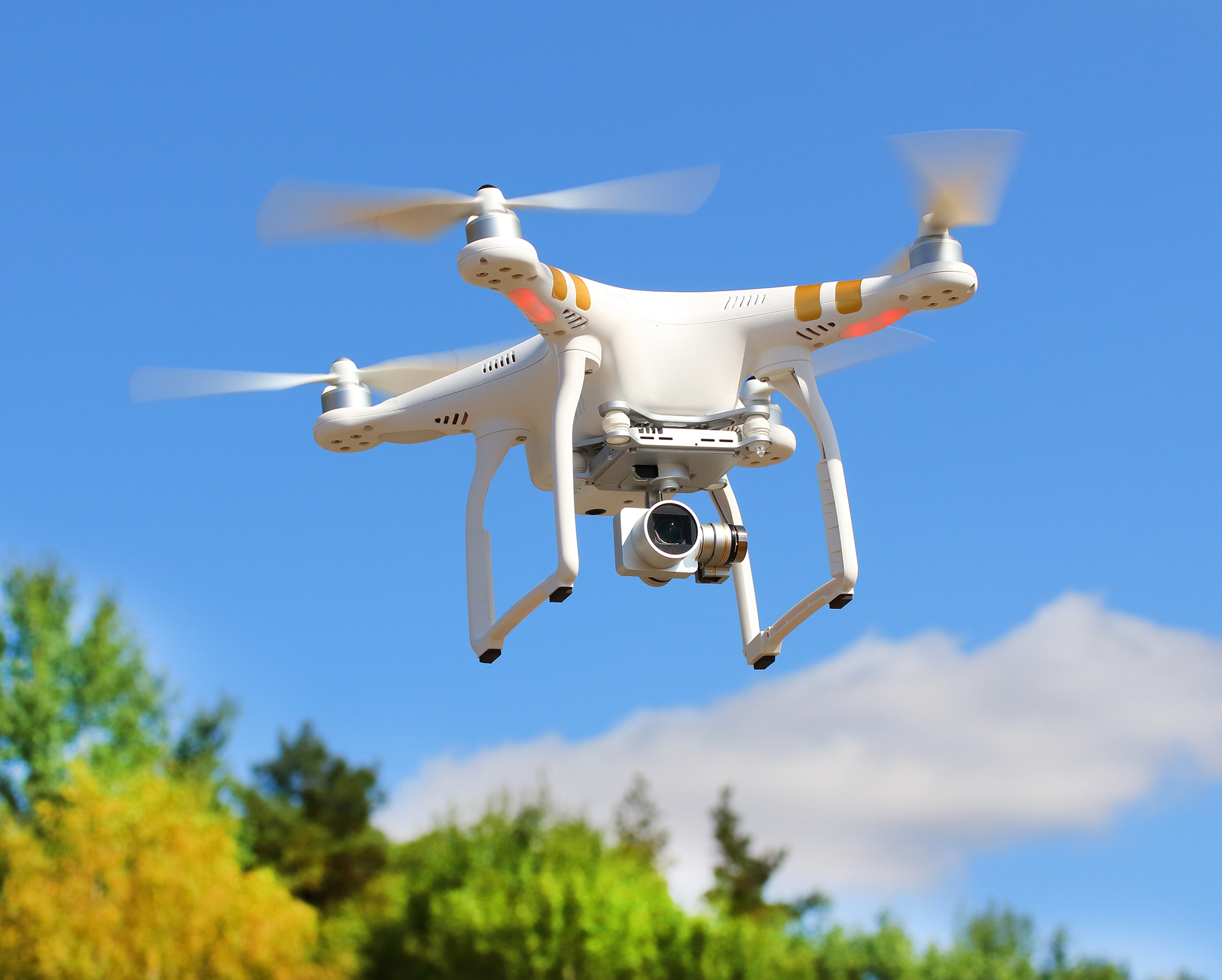
The importance of drone altimeters
-
The accuracy of different drone altimeters
- Infrared
- Barometry
- Drone News Update
- GPS
-
Methods to improve altitude accuracy
- Periodic IMU calibration
- Establishing GCPs
- American Manufacturer Freefly Talks New Product & Drone Ban - Matt Isenbarger - PiXL Drone Show #82
- Using a ground station
-
Final thoughts
A part of telemetry data that is considered one of the most important to drone pilots is the altitude. Not only should altitude be monitored to make sure that you are complying with regulations, but it also plays a role in some data-gathering operations. You will also want to control the altitude if you’re flying close to tall structures.
However, have you ever stopped to think about the accuracy of a drone altimeter? Is it accurate to within a few feet or should you give it a wider allowance? How do drone altimeters even work?
The importance of drone altimeters
The altitude reading of a drone is not just a piece of telemetry data that we look at every now and then. In many situations, altimeter readings are some of the most critical flight parameters. If you’re flying in an urban area, you may have to set your minimum altitude above the Minimum Obstacle Clearance Altitude (MOCA) to avoid any tall structures.
Keeping track of altitude figures can also be crucial for legal compliance. In areas of controlled airspace, drone flight is typically restricted to altitudes below 400 feet AGL. This ensures that your drone does not interfere with manned aircraft operations.
High levels of altitude accuracy are very important in remote sensing applications, such as in aerial mapping or precision agriculture. Spatial measurements made through remote sensing are always made relative to the location of the drone – a parameter that involves its flight altitude. Not paying attention to the altitude accuracy of a drone is a certain way to end up with inaccurate measurements, whether you’re mapping an entire field or measuring the height of a building.
The accuracy of different drone altimeters
One factor that complicates this matter is that drone altimeters can work using different mechanisms. In some cases, drones can have more than one system for measuring altitude and switch between them under certain circumstances.
Infrared
Most drones have downward-facing sensors that use infrared. These are commonly called Vision Positioning System (VPS). These sensors rely on time-of-flight principles to determine the altitude of a drone.
Infrared-based altitude is very accurate given that you are using it within the acceptable range and that the drone is not flying over a reflective surface, such as water. This has been programmed into drones and they will shift out of VPS when they reach a certain altitude threshold, typically at around 20 to 30 feet.
An advantage of VPS altitude is that it’s always measured relative to the ground, or in AGL units. If you need to measure the height of a structure, then using VPS is an easy way to get accurate readings. You do not need to do an “altitude reset” of the drone to get accurate VPS readings – its accuracy is fairly consistent even if you’ve been flying for long periods without landing.
The main limitation of infrared-based VPS is that it only works within a small altitude range. In most drones, this limit is at about 25 feet AGL. Beyond this, the infrared signal gets too weak because of natural attenuation. If you need to fly higher, then you simply cannot rely only on VPS for altitude readings.
Barometry
The dominant altitude measuring mechanism in drones is barometry. This measures altitude as a function of air pressure. As the drone gains altitude, the air pressure reading steadily decreases. The effectivity of a barometer does not have an altitude ceiling – it can still measure altitude at the maximum levels that a drone can reach.
The barometer of a drone can measure both relative and absolute altitude. This means that it records altitude in MSL and AGL units simultaneously. Either or both of these readings can be important depending on the application.
The barometer of a drone, much like any other instrument, needs to be calibrated periodically. This has to be done at sea level, where air pressure should theoretically be around 14.7 psi or 1013.25 millibars. The information gathered at calibration will be used by the drone to determine absolute altitude values.
Although barometry is an established technology for altitude measurement, it is also not perfect. Within a single flight mission, altitude readings can fluctuate because of any significant changes in air pressure or temperature.
Some trials have shown that the fluctuations in barometry readings tend to increase the longer a flight mission proceeds. An easy solution to this problem is to “re-zero” the barometer by landing the drone and taking off again. However, the phenomenon of altitude drift makes it hard to determine exactly how accurate a barometer is.
The accuracy of a specific barometer can vary based on the level of sophistication of the air pressure column. In most cases, barometer-based altitude should be accurate to within 10 feet. This should be enough for basic flight navigation but may still be too inaccurate for high-precision mapping.
GPS
The onboard GPS receivers of a drone determine the location of a drone using triangulated data from several GPS satellites. This is mostly used to determine the horizontal position of a drone. GPS data plays a huge role in drone applications that involve spatial data such as mapping and 3D modeling.
GPS triangulation can also be used to determine the flight altitude of a drone. However, it is considered less accurate and even more prone to drifting compared to barometry. Most drones can record both barometry and GPS altitudes. Mapping software platforms are typically partial to barometry-based altitude data, a testament to how unreliable GPS altitude readings are considered to be.
The accuracy of GPS positional data can vary based on GPS signal strength. This will depend on the GPS network constellation and can be affected by interference, whether by other sources of electromagnetic signals or any large structures nearby that can block GPS signals. GPS altitude readings have been known to drift by up to 50 feet within five minutes of drone flight.
By looking at the technologies used for altitude measurement, we also understand that each one has limitations. Taking note of these limitations is the key to understanding what we can and cannot do with our drones.
Methods to improve altitude accuracy
If you’re just flying a drone for fun or to take photos, then you will hardly need to worry about altitude inaccuracies. The altitude reading of a drone rarely drifts enough to be considered serious or dangerous.
In cases where accurate altitude readings are needed, extra protocols may have to be done.
Periodic IMU calibration
Regardless of how you use your drone, calibrating its IMU periodically is a good idea. The inertial measurement unit (IMU) is a collective term for the sensors that a drone uses to determine its location and movement attitude, including its barometer, gyroscopes, and accelerometers.
There are several circumstances that should indicate that your drone needs an IMU calibration. You should calibrate the drone before your first flight and every time the drone receives a firmware update. If your drone suffers a nasty crash, then it would be a good idea to re-center its sensors via IMU calibration.
If you’re moving your drone to a different altitude (more than 1000 feet difference), you’re likely to get better altitude results if you calibrate first.
There can also be tell-tale signs that your drone needs calibration, such as being unable to hold a stable hover or the altitude reading not going back to zero when the drone lands at the same take-off spot. With enough experience, you should learn to ‘listen’ to your drone and recognize signs of uncalibrated sensors.
Just about all modern drones have automatic IMU calibration modes. Just make sure to do the calibration by placing the drone on a flat surface and away from any major sources of electromagnetic interference. It’s a good idea to use an actual bubble level for this step.
Establishing GCPs


For mapping applications, altitude inaccuracies of up to 10 feet are not acceptable. To offset these inaccuracies, one of the more established techniques is to place ground control points (GCPs) within the survey area.
GCPs are pre-established and pre-marked points in the survey area that can act as “anchors” for the map. These points will have to be accessed by the survey team so that they can take high-accuracy GPS measurements. It is considered good practice to have at least 5 GCPs in a survey area, regardless of size.
Altitude adjustment via GCPs is a technique that is applied post-flight. It requires data processing via a GIS platform such as ArcGis or GlobalMapper. It will not help you with navigation because mapping surveys are done using pre-programmed flight plans anyway.
Using a ground station
An alternative to GCPs is to have a ground station that communicates with another module onboard the drone. This uses either the Real-time Kinematic (RTK) or Post-Processing Kinematic (PPK) workflow. The idea behind this technique is that the drone continually corrects its positional data based on its distance from a permanent ground station.

Altitude correction via ground station can provide centimeter-level accuracy. However, it also involves buying a drone that is equipped with RTK or PPK and the corresponding ground station. This will set you back at least $5000. The extra convenience it provides is that it reduces the work needed to set up GCPs in the field.
Unless you’re in the field of mapping, then a few feet of altitude drift probably is not a huge deal. Doing basic IMU calibration should be enough for casual use. Those who need more accurate altitude numbers will have to correct their data using “ground truth” techniques. These are fairly established in the field of mapping.
Final thoughts
Altimeters are one of the essential sensors in a drone. They are reliable but may not entirely be accurate. Several factors influence the altimeter accuracy of drones and some of these are not easy to control.
The good news is that altitude readings of drones typically drift within an acceptable range of values. As long as you do IMU calibrations with reasonable frequency, the altitude readings of your drone should be within 10 feet of the actual values.
Mapping applications are an exception to this level of tolerance. However, centimeter-level locational accuracy can be achieved with some established data correction protocols.