In a recently published document, the FAA doubles down on the Remote ID rule that requires the GPS location of the control station to be accurate within 15 feet. The objective of the document is to provide drone manufacturers a means to comply with this requirement – namely, by using GPS receivers augmented with Wide Area Augmentation System (WAAS) satellite signals. This continues to be a controversial part of Remote ID.
Remote ID has been one of the hottest topics in the drone industry for the past year. Some of the potentially problematic areas of the new rule still remain unresolved.
What is Remote ID?
The remote ID is akin to a “digital license plate” for drones and is considered by the FAA to be an essential step towards developing an unmanned traffic management system. It is a way for a drone to be identified by the concerned authorities, even when they are not entirely involved in the drone’s operations.
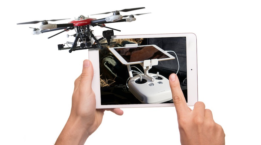
Remote ID works by requiring all drones to continuously transmit packets of information. These contain crucial information about the drone and operator including the drone’s serial number, the location, and altitude of both the drone and control station, and any relevant emergency status messages.
These information packets can be scanned by law enforcement or FAA representatives. However, access to the information by the general public has not been ruled out.
The relevant legislation for Remote ID is 14 CFR Part 89 or “Remote Identification for Unmanned Aircraft”. Although this rule is technically already under implementation, drone manufacturers have until late 2022 to make sure that all their drones are equipped for Remote ID. Drone pilots will then have another year to fully comply with Remote ID requirements.
The GPS requirement and appeals against it
One piece of information that should be included in the Remote ID information packets is the location and altitude of the control station. Section 89.310 (2) further expounds on this by stating that the reported geometric altitude of the control station must be accurate to within 15 feet of the true geometric altitude with 95 percent probability.
In June 2021, the ASTM Remote ID Working Group sent a letter to the FAA stating that the altitude accuracy requirement for the control station was impractical. The letter goes on to describe that the GPS Standard Positioning Service Performance Standard guarantees a vertical accuracy between 42 to 108 feet. This is based on the performance of customer off-the-shelf (COTS) products including commercial drones.
Supporting these figures are the Satellite Performance Standards (SPS) committed by the Department of Defense to ensure the compatibility and reliability of GPS for the global community for purposes of civilian use.
The ASTM also argues that GPS performance may fluctuate significantly because of several external factors. The presence of large structures around the GPS receiver and sources of electromagnetic interference are just some of the more common issues that civilians will encounter. With these factors in consideration, the ASTM working group recommends a working vertical accuracy of 50 feet or 15 meters for Remote ID.
What the new Statement of Policy contains
On November 22, 2021, the FAA published a Statement of the Policy document that addresses the concerns on the vertical accuracy requirements for the control station position of Remote ID. The document reiterates that the FAA was not going to change their previous declaration that the altitude information for the control station should be accurate within 15 feet. Instead, the document provides means by which drones can comply with the requirement.
The document proposes the use of a Global Navigation Satellite System (GNSS) receiver that uses GPS and Wide Area Augmentation System (WAAS) satellite signals. To support, the FAA points to the WAAS Performance Analysis Report published by the National Transportation Safety Board (NTSB) that GPS with WAAS has a vertical accuracy between 2.4 feet to 5 feet.
According to the Statement of Policy, the FAA does not require drone manufacturers to use GPS with WAAS. Other means of compliance will still be acceptable as long as they can deliver the vertical accuracy requirements of Remote ID.
Side note – What is WAAS?
Not many people are familiar with the Wide Area Augmentation System (WAAS) mainly because it is not a widely used standard. WAAS was developed jointly by the FAA and Department of Transportation to help pilots perform precision approaches to any airport. WAAS is classified as a Satellite-Based Augmentation System (SBAS).
WAAS works by using both a series of ground-based reference stations and geostationary satellites. The reference stations on the ground measure variations in the signals from GPS satellites which can be caused by satellite orbit errors or ionospheric disturbances. These measurements are then transmitted to the geostationary satellites as “correction messages” so that GPS signals can be corrected for improved accuracy.
WAAS receivers do not necessarily differ in terms of hardware from standard GPS receivers. However, their firmware is heavily modified to receive signals from WAAS satellites and compute for the corrections to GPS signals. Currently, WAAS is mostly used in the aviation industry. They are still quite rare and significantly more expensive than standard GPS receivers.
How will this affect Remote ID implementation?
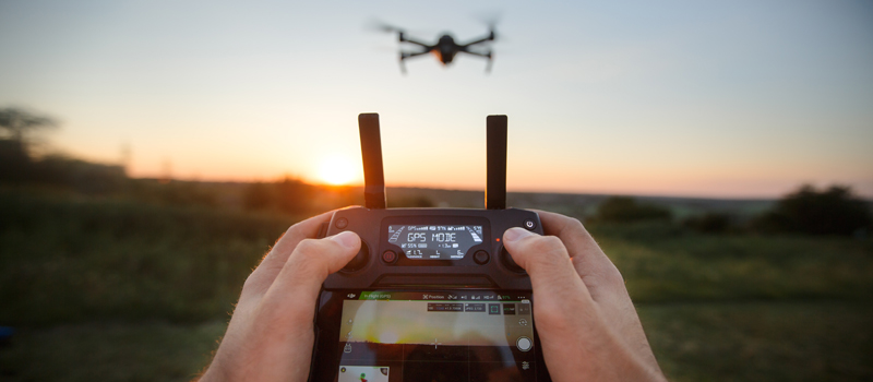
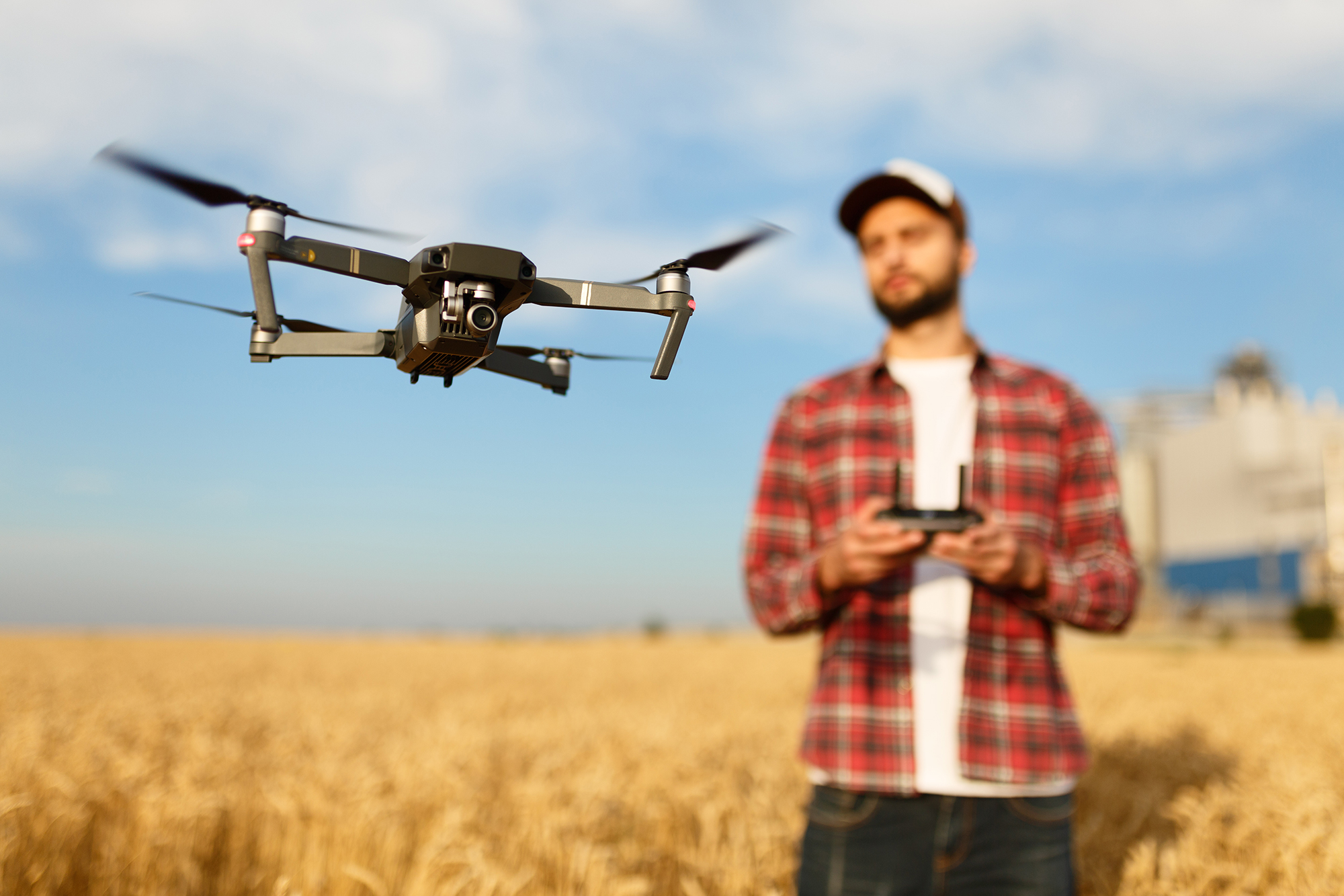
With the FAA seemingly doubling down on the requirement to maintain a 15-foot vertical accuracy, this makes compliance with Remote ID more challenging for both drone manufacturers and pilots. Currently, the position of the control station is determined by either a built-in GPS function or the GPS receiver of the mobile device connected to the controller. This uses standard GPS, which we know by now is not accurate enough for Remote ID standards.
This means that the drones being used today cannot be expected to comply with Remote ID easily with just some firmware upgrades. As the ASTM has mentioned, GPS receivers capable of delivering the accuracy required by the FAA are still too expensive to be practical. Obviously, the best outcome of this situation for the drone pilots is for the FAA to stick to the limits of current GPS standards that were also recommended by the ASTM.
This situation becomes more concerning with the fact that drone manufacturers have less than a year to offer the technology that will be compliant with Remote ID. Will controllers with accurate GPS be commercially available by 2022? Will these controllers be much more expensive than what we’re using right now? How about controllers that rely on phone-based GPS?
There are still lots of questions that need to be answered and this topic will surely be a point of discussion in the coming months.
Final thoughts
Little attention was given to the Statement of the Policy document that the FAA released on the Remote ID ruling. Even the letter sent by the ASTM seems to have flown under the radar of the drone community. We encourage anyone interested in the discussions surrounding Remote ID to read through the documents and form their own opinions on how this situation should pan out.
Remote ID has always been a controversial topic for the drone community ever since the idea was first floated by the FAA. Even with the final ruling in place, there continue to be issues that need to be addressed. With implementation already ongoing, discussions on these issues have to happen soon.