-
What is ground-truthing?
-
Are GCPs necessary in all mapping jobs?
- American Manufacturer Freefly Talks New Product & Drone Ban - Matt Isenbarger - PiXL Drone Show #82
-
Best practices for ground-truthing
- Take test shots
- Drone News Update
- Use a high-accuracy GPS receiver
- Use at least five GCPs
- Take note of elevation changes
-
The special case for PPK/RTK drones
-
Final thoughts
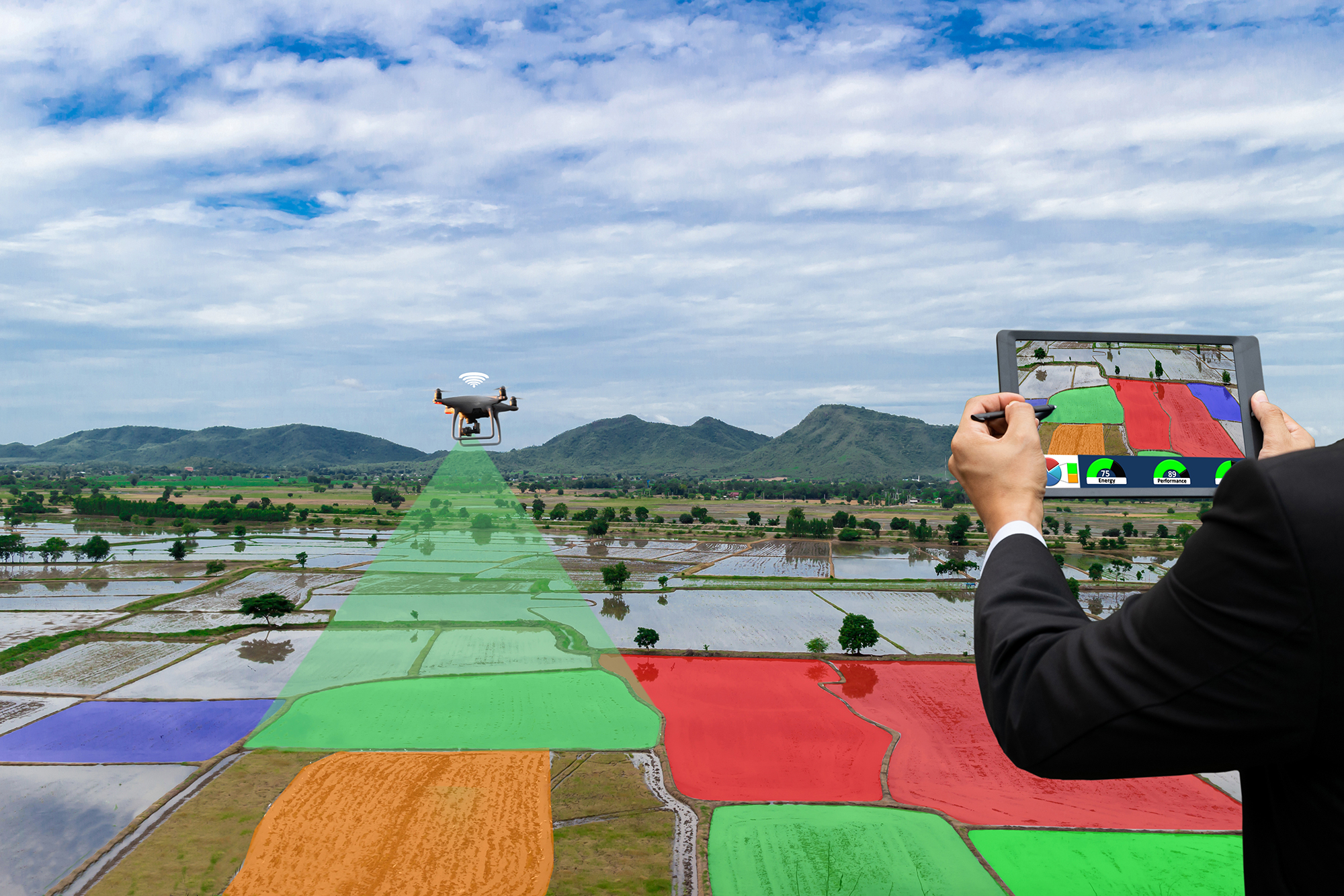
Unsurprisingly, drone technology has proven to be a game-changer in the field of survey mapping. Drones provide an aerial perspective without the logistical complexities of having to fly a helicopter. With the recent improvements in drone technology, drones have become a lot more capable of mapping with more sophisticated sensors and receivers.
However, certain mapping practices remain constant even when using drones. This includes ensuring that mapping surveys are based on a “ground truth”. How can you establish ground truth when doing a drone mapping survey? Is ground-truthing still necessary for drones with PPK or RTK capabilities?
What is ground-truthing?
The concept of “ground truth” does not apply only to mapping. It is an umbrella term that refers to a “fundamental truth” – a value that has been directly observed, measured, and proven to be true. The ground truth can be used to prove or refute the hypothesis of an experiment or statistical model.
However, ground-truthing takes a special meaning when used in the field of aerial mapping. Mapping using drones is an example of remote sensing – a practice where variables are measured indirectly or without coming in contact with the entity being measured. Remote sensing can also refer to practices in other fields such as meteorology and satellite imagery.

In mapping, ground truth is established using ground control points (GCPs). These are pre-identified points within the survey area. The location of each GCP is measured on the ground using a high-accuracy GPS receiver. The GCPs are made visually distinct using high-visibility markers so that they show up easily in the aerial survey.
The GCPs can then act as points for calibrating your map or checking it for accuracy. Think of the GCPs as “thumbtacks” that you can use to adjust your map to better reflect real-world conditions. The general rule of thumb is that a map is more accurate if you use more GCPs, although there is a maximum number where the improvement becomes marginal.
Constructing GCPs can be one of the most tedious and labor-intensive parts of a drone mapping project. It involves physically accessing the selected locations, placing large markers, and collecting a series of GPS readings. This is less problematic in open areas like agricultural fields but is considerably more challenging in areas that are heavily vegetated or have challenging terrain.
Are GCPs necessary in all mapping jobs?


GCPs are undoubtedly valuable in drone mapping, but they also require a lot of extra work. The good news is that not all drone survey jobs will require establishing GCPs. There are a few factors to consider here including the importance of global accuracy and how accurate area and volume measurements need to be.
Global accuracy refers to the accuracy of geospatial points in the map to globally established benchmarks. Is it important that the coordinates in the map reflect coordinates that you would acquire using a GPS receiver? Perhaps you just need a map to judge the relative positions of elements in the map?
GCPs are also valuable if your map is going to be used to make highly accurate area or volume measurements. This can be the case for maps to be used in urban planning or civil engineering. If a map will be used as a reference for land titles, insurance claims, or any legally binding documents, then a GCP will always be recommended.
Cases where GCPs may not be essential will include drone surveys being done as a marketing effort. This can be the case for tourist destinations or proof-of-concept models. After all, 3D models look great and can be used to create novel and engaging marketing materials.
A professional drone pilot offering mapping services must offer a client these options and help them discern what their requirements should be. Mapping with GCPs will deliver much better accuracy but will also take more time and be more expensive.
Best practices for ground-truthing
Placing GCPs in a survey area can take a lot of work, so it’s best to do it right the first time. Here are some of the best practices when using GCPs for your drone surveys.
Take test shots
You can either use pre-made GCP markers or spray paint them on a surface with a stencil. In any case, it is important that GCP markers are highly visible and that they will not be blown away by the wind or obscured by any large features.
To make sure that your GCP markers are visible, we suggest doing a test flight. You will have to establish the cruising altitude for your survey and use this as the basis for test shots. Smaller surveys can be done at about 250 feet, but it is more practical to survey larger maps by hitting the maximum 400-foot limit. You will want to take test shots when visibility conditions aren’t perfect, such as when clouds are passing by overhead.
Use a high-accuracy GPS receiver
Once you have marked a GCP, the next step is to take a GPS measurement at its center. This should be done using a high-accuracy professional-grade GPS and not just the GPS function in your phone. We recommend buying handheld GPS receivers from brands such as Garmin, Leica, or Trimble.
Related to this step is the need to place GCPs in areas with good GPS reception. When done well, these locations should also have good visibility. Avoid placing GCPs in areas with thick canopy cover or near large structures, whether natural or man-made.
Use at least five GCPs
The best practice is to place at least five GCPs – one near each corner of the survey area and another at the center. Make sure to leave about 100 feet of buffer between the edges of your survey area and any of your GCPs.
If you’re surveying a particularly large area, you have the option of adding more GCPs. Try to have them as evenly spaced as possible. Most surveyors would consider a limit of ten GCPs in any survey area regardless of size. Having more of them will no longer considerably enhance the accuracy of the survey.
Take note of elevation changes
Elevation changes are major considerations in placing GCPs. A sudden elevation change in your survey area can significantly distort the size of any features. To account for this, it’s important to place even one GCP to represent the elevation of any hills or valleys. This can prove problematic as these are also areas that are usually difficult to access.
The special case for PPK/RTK drones
Aerial mapping has caught the attention of several drone manufacturers in recent years. This has manifested in drones with specialized mapping technology, such as PPK and RTK receivers. With this technology, drones can “correct” their GPS readings according to the position of a static base station. Think of it as a more sophisticated GCP that allows for real-time correction.
This begs the question – can drone mappers do away with GCPs completely if they are flying a PPK/RTK drone?
The short answer to that question is that nothing beats the value of a GCP. In terms of having a measurable location on the ground, not even the most sophisticated PPK or RTK workflow can guarantee the level of certainty that a set of GCPs offer.
However, other situations will require a more nuanced approach. The first thing that drone mappers need to know is that PPK and RTK drones may not work perfectly in all situations. They work best in clear areas where the receiver and base station can communicate uninterrupted for real-time correction. However, dense urban areas may prove to be more challenging.
On the flip side, some areas are too bothersome or dangerous to place GCPs. This includes forests and areas with hazardous terrain. In some cases, geologists or environmentalists may even need to map areas that people barely set foot on. A drone equipped with PPK or RTK technology would certainly be beneficial in such a situation.
In an ideal scenario, a drone with PPK or RTK capabilities can do a survey that still uses GCPs. This would provide maximum accuracy and measurable ground truth. However, there are situations where you have to choose one or the other.
A PPK or RTK drone is still a worthwhile investment, even considering how expensive they are. They provide a way to do accurate drone surveys even without the use of GCPs. It is important, however, that the drone pilot recognizes the limitations of PPK and RTK technology. It is not an all-around solution that gives you an excuse to do away with GCPs completely.
Final thoughts
The basic concept of “ground truth” is one that any drone pilot who goes into mapping needs to know. Aerial mapping doesn’t just involve flying a drone and taking pictures of the ground. Getting highly accurate results involves doing some legwork to place ground control points.
The integration of PPK and RTK technology has proven to be a huge improvement for the workflow of drone mapping. However, we would argue that it does not invalidate the value of GCPs in establishing ground truth. A GCP provides a tangible spot with attestable GPS measurements – something that a PPK or RTK workflow does not replicate.