Drone mapping takes more skills than just being able to fly a drone well. You will need to have good planning skills, experience in doing surveys, and an understanding of the fundamentals of photogrammetry. You will also be dealing with lots of data and need to go through the entire process of data collection, processing, and presentation.
With planning and data analysis in mind, good software is an essential tool in drone mapping. While most of these software packages require an expensive subscription, there are also some options that are free to use.
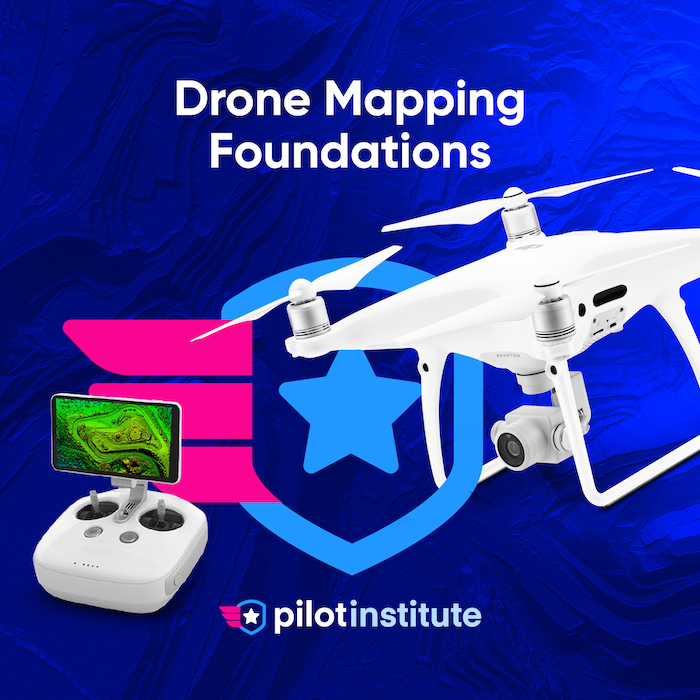
Best Free Drone Mapping Software
In recent years, the selection of free drone mapping software has become a lot leaner. Some applications that were previously completely free are now also being sold under subscription-based models. The good news is that even the most popular paid drone mapping applications offer limited-time free trials. This list will be a combination of drone mapping software that is either free to try for short periods or completely free to use.
1. SkyeBrowse
SkyeBrowse uses videos instead of photos to produce high-quality maps. The result is that maps can be produced in a fraction of the time of alternatives. In as little as 3 – 5 minutes you can have a map with centimeter-level accuracy that’s ready to use.
SkyeBrowse offers a 2 week free trial. Even after the trial expires, you can still continue to use SkyeBrowse for free to create high quality maps but you will need to pay to access the measurement tools.
Learn how to create professional drone maps.
2. WebODM
By far, the most popular software platform for drone mapping that you can download and use for free is WebODM. This is open-source software that has been around for a few years and has been improved vastly by its active user community. If you’re sufficiently tech-savvy, you can even modify the code of the program to suit your needs.
As with most open-source software, WebODM can be a bit intimidating for beginners. Even its installation process is complex, as you will need to download and install it through GitHub and run it via the Docker platform. There are a few tutorials available online on how to do this.
WebODM is a data processing program that allows you to process spatial data and generate a variety of maps. It is useful for making orthomosaics, digital elevation maps, plant health maps, and 3D models from point clouds. The process runs completely locally, so you will need a fairly powerful computer.
WebODM does NOT have any flight planning capabilities. It deals purely with data and does not interface with a drone at all. If you’re thinking of creating automated flight missions, you will need to look for a separate software solution.
A peculiar thing about WebODM is that you can actually get around the complicated installation process and just download an installer instead. The catch is that this installer is not free. Right now, it costs $57 for individual users and $147 for business users with priority customer support. This is still very cheap as far as drone mapping software applications go.
3. DJI GS Pro
If you’re using a DJI drone for your mapping operations, then you have a pretty good software option that you can use for free. DJI GroundStation Pro is a mobile app that is specially designed for drone flight planning and management. It is very easy to use and has an interface that should feel familiar to any DJI drone user.
With DJI GS Pro, you can easily define the extent of your target survey area and the app will automatically generate flight paths for the drone to follow. Details of the flight missions can also be saved and retrieved so you can easily do repeat missions.
DJI GS Pro also has cloud capabilities for the storage and management of flight data. Cloud backup is very valuable for commercial jobs and also provides a platform for collaboration.
A major limitation of GS Pro is that it’s a platform that is made only for flight planning and flight data management. It has no data processing capabilities. If you need to generate maps from your data, then you will have to look for another program. In this context, combining DJI GS Pro with WebODM is actually a fairly common strategy.
4. DroneDeploy (14-day free trial)
DroneDeploy is one of the more recognizable names in the field of drone mapping software solutions. With a sleek interface and a rich array of features, DroneDeploy is considered one of the standard applications used for commercial drone mapping work. It is also not free to use, although you can take advantage of the 14-day free trial for new users.
Two weeks is not much time for you to be able to make the most out of DroneDeploy, but it should be enough for you to explore some of its basic features. This is an end-to-end drone mapping platform that can do everything from flight planning to data processing and 3D modeling. It also works with dozens of third-party apps that can help support your drone mapping jobs, essentially making an ecosystem that should serve everything you can possibly need.
DroneDeploy is not actually free software and it’s easy to see the difference in how well the user experience has been polished. DroneDeploy offers several pricing options for basic users, advanced users, and teams. It is not cheap, but thousands of companies using the platform will attest to its quality.
5. Pix4Dcapture
Pix4Dcapture is a free mobile drone flight planning app. It is only a single part of a huge Pix4D ecosystem and is the only Pix4D application that can be used for free.
Pix4Dcapture is an app that allows you to plan and control drone flight using a mobile device, much like DJI GS Pro. It is very easy to use and even provides a way to review the quality of the captured images even while you are still on site. All images captured via Pix4Dcapture can be uploaded to PIX4Dcloud to retrieve later and processed using the software of your choice.
The primary advantage of Pix4Dcapture is that it can be used with non-DJI drones. This app has a fairly extensive list of compatible drones including a few from Yuneec and Parrot. However, you might have compatibility problems if you’re using a fairly new drone model.
You can also grab the opportunity to do a free trial of the various Pix4D applications. Pix4D offers free trials for some of the more popular products, the most notable of which for drone mapping is the Pix4Dmapper for data processing and PiX4Dcatch for ground-based LiDAR surveys.
Pix4D offers a comprehensive and feature-rich software ecosystem for everything related to mapping. It is possible to sign up for a subscription to each program individually or as a bundle. While certainly not cheap, working within a single ecosystem does wonders in streamlining the workflow for commercial drone mapping operations.
6. QGIS
QGIS is not exactly a program that is made for drone mapping, but it is one of the more popular GIS platforms. It is often used as a free alternative to ArcGIS and has managed to build a large community of users.
QGIS is an open-source GIS platform. It can be used to manipulate geospatial information to create a wide range of maps. It is very useful for data visualization, especially if you’re dealing with a large amount of spatial data. It is versatile, fairly easy to use, and has an active community of users who would be happy to lend you a hand.
A natural drawback of using QGIS for drone mapping is that it cannot process the data collected by the drone. It is not software for photogrammetry, after all. This means that you will need to process the images using a separate program first before the spatial data can be exported and analyzed using QGIS.
QGIS is an excellent GIS platform for individuals and businesses who are on a budget. Despite being free to use, it is considered one of the best and most widely used GIS platforms today. It will not provide a solution for drone mapping on its own, but it complements just about any other drone mapping software perfectly.
Why use free drone mapping software?
There really does not need to be a complex discussion of why using free software is an option – of course, you will want to save some money. Whether it’s a good idea to use free drone mapping software is another question that needs a bit more thought.
If you have ever looked at the prices of commercial mapping software, you probably already know that they can be very expensive. After all, these programs are very sophisticated and serve the needs of large and lucrative industries ranging from engineering to construction and real estate.
Considering the high prices of most drone mapping software, it seems rather suspect that there are also a couple of free options. This is where setting realistic expectations come in – these programs and applications are free but they may not be as capable, updated, or user-friendly as those that are paid.
Whichever free drone mapping software you choose, you will have to settle with a compromise on one or several aspects. The software may not have all the features you need, or just getting it to work might already take a lot of work.
Using free drone mapping software is a good idea if you’re just starting out, or if you just want to dip your toes into the field of drone mapping. Conversely, you can also try the trial versions of some of the more established drone mapping programs. However, free drone mapping software may not be a long-term solution if you want to establish a career as a professional drone mapper.
Final thoughts
The selection of free software for drone mapping has noticeable become smaller in the last couple of years. Perhaps this is a response to the growing commercial market for drone mapping software, or simply because free things just are not so common anymore. In any case, going into drone mapping may require quite a hefty investment.
This does not mean that free options no longer exist, as this list has shown. You may need to be a bit more creative or accept some compromises, but you can get a drone mapping mission done without spending a dime on software.