The commercial drone industry has grown to a point where the applications of drone technology have genuinely become surprising. This is good both for the industry and the technology. A more diverse market for drone services means that there are also more opportunities for commercial drone pilots.
In this article, we will be focusing on a less common commercial application – the use of drones for the management of golf courses. How exactly does this field benefit from using drones? How can commercial drone pilots benefit from these opportunities?
Drone footage for marketing
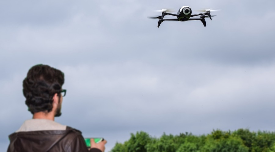
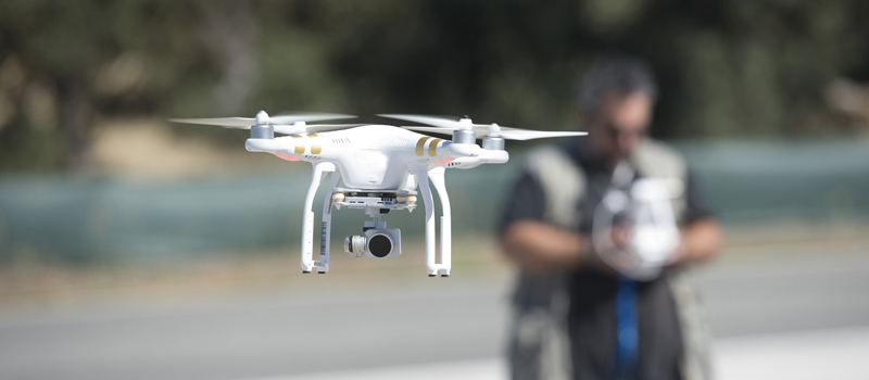
The simplest way to use drones in golf courses is to use aerial images and videos as marketing materials. Drones are exceptionally suitable for this, as it’s impossible to capture the scale of a golf course with ground-based photography. Aerial videos also provide an opportunity to showcase facilities like clubhouses as well as the immediate surroundings of the golf course.
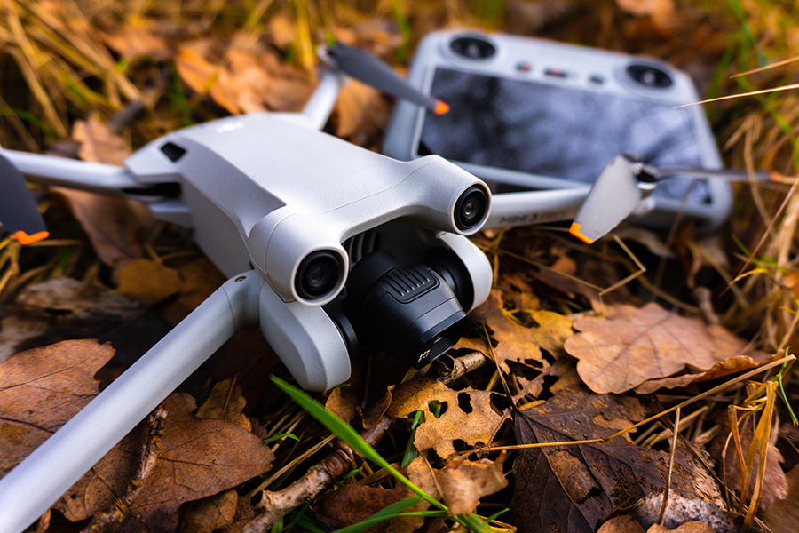
Drones have become the preferred tool for aerial photography in the last several years. They are cheap, can be deployed quickly, and have very good maneuverability. Now that drones with 4K cameras have become the standard, even a drone that costs less than $2000 can capture pro-quality cinematic shots.
Most golf courses can afford to have a drone video produced multiple times a year. The appearance of a golf course in summer can be dramatically different from what it looks like during autumn. This means that golf course documentation isn’t necessarily a one-off job – there’s an opportunity for it to become a regular gig.
An innovative marketing technique for golf courses is to use a drone to provide a hole-by-hole virtual tour. This can be intriguing for potential players who may want to come up with an early strategy. Such a package also provides enticing value for more players to join the golf club.
Vegetation monitoring
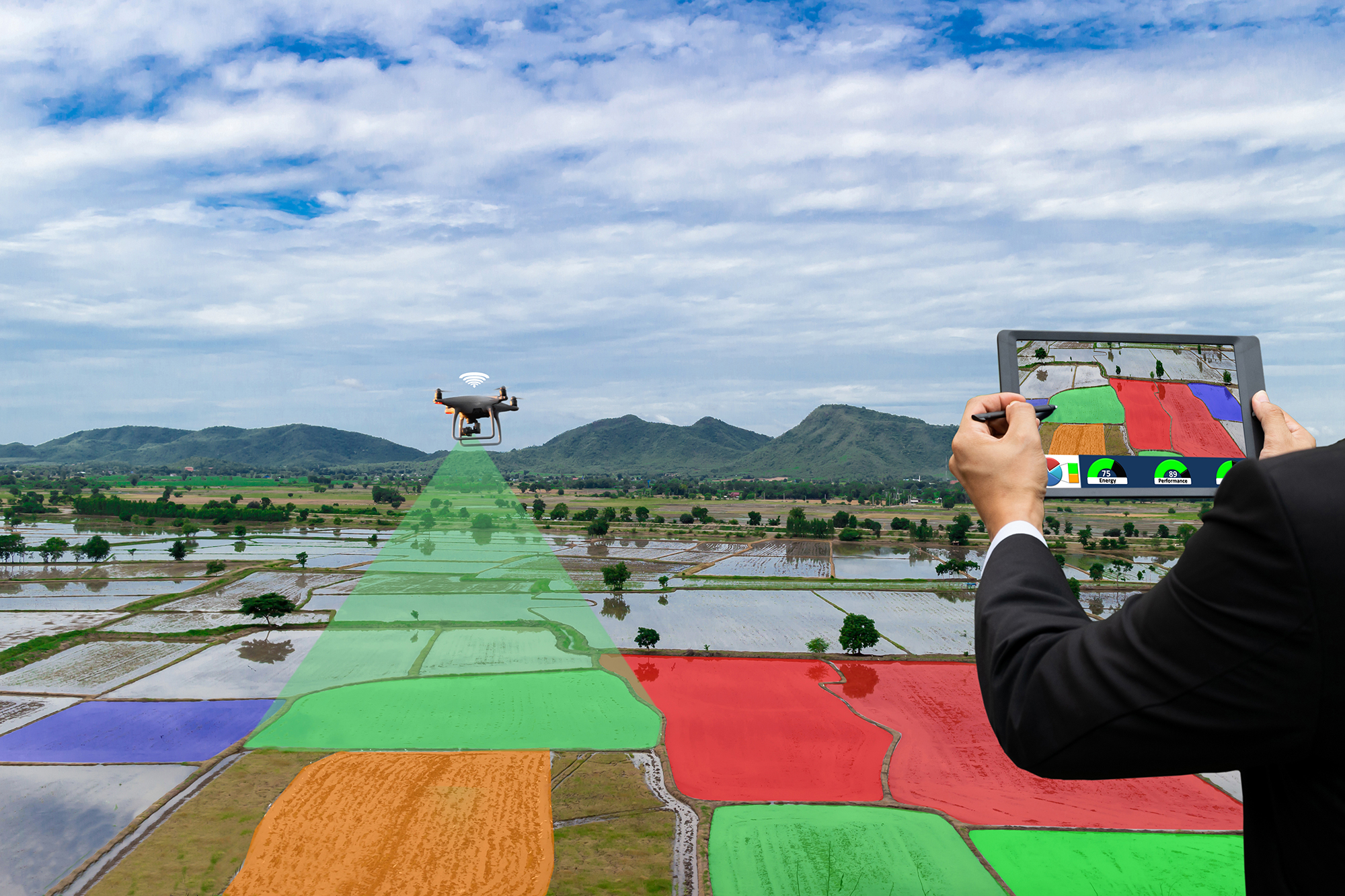
Drones aren’t just good for capturing aerial photos and videos. When equipped with special sensors, they can gather data that is otherwise invisible to the naked human eye. A good example is a drone with a multispectral sensor that can detect infrared or near-infrared energy.
This is a technique that is already being used in the agricultural sector. By processing multispectral data combined with spatial positioning, drones can generate maps that correlate specific data types to actual locations in the golf course.
Processed multispectral data can be used to assess the level of health of trees, grass, and any other form of vegetation. Since there is a massive volume of turfgrass in golf courses, the rapid data gathering capabilities of drones can prove to be a game-changer. Doing multispectral surveys can even reveal turf health problems before they become apparent to the naked eye.
The concept of multispectral scanning is based on the use of near-infrared data as an indirect measure of chlorophyll levels in plants. With this information, the management can decide if there are any areas in the golf course that need to be rehabilitated or treated with pest control or fertilizer. This can be done as often as needed because scanning an entire golf course using a drone will likely only take a few minutes.
Terrain assessment
3D mapping can also be a useful tool in golf course management, particularly in monitoring any changes in terrain. Issues like land subsidence or erosion can have negative effects on the appearance of a golf course, as well as the performance of the players. If phenomena like these are identified early, changes can be made to remedy the problem.
A 3D map of a golf course can also be a useful tool for addressing problems like flooding or if the management is planning to expand the golf course. 3D maps provide a wealth of information because they can be measured and navigated in infinite ways.
Creating a 3D map using a drone does not need to be done using fancy equipment. With a technique called photogrammetry, 3D mapping can be done with a standard high-definition RGB camera. The camera takes a series of overlapping images which are then stitched together. Spatial data embedded in the images are used to match features and model them accurately in a 3D space.
This method of 3D mapping is more dependent on the software than the hardware. Nowadays, there are special drone mapping software platforms that can automate the flight of the drone, collect data, process the data, and generate different 3D models.
General monitoring
Lastly, a drone can be useful for just general regular monitoring of the golf course. Doing a quick fly-through of a golf course every day before opening hours can show areas that need urgent maintenance. If there was some bad weather encountered previously, then drone footage can be used to identify any damaged trees, fences, buildings, or turf.
Regular monitoring via drones can also be done to spot any illegal activities being done in the golf course, or if there are members or workers violating the club rules. While using drones for surveillance is generally frowned upon, it is becoming more acceptable when done for safety or security.
Getting drone jobs in golf courses
Golf course management provides another opportunity for commercial drone pilots to get regular jobs. When done for maintenance and monitoring, the use of drones will be considered an essential and invaluable part of golf course operations.

Capturing aerial images is a fairly common skill in the commercial drone job market. It’s still viable and pays well but expect heavy competition if you cannot venture beyond this skill set. The fact that even entry-level drones can perform pro-quality aerial photography also lowers the barrier to entry for this field.
3D mapping is a bit more specialized because it requires proficiency in processing and manipulating data in the mapping software. It also involves using the software to create an optimal workflow that can gather all the essential data for 3D mapping within a short period of time. Moreover, it can help if the drone pilot can interpret 3D maps and help provide insight that can be helpful for golf course management.
If you wish to really stand out in this market, it would be a great idea to invest in the skills and hardware needed for multispectral mapping. This includes the gear, the software, and the know-how of conducting multispectral surveys and processing multispectral data. Despite this being a fairly established technology, there is still only a small number of drone pilots who are skilled enough to provide such a service.
Regardless of your skillset, it would be a good idea to sign up for a drone job listing website to make your profile visible to possible clients. In this day and age, drone jobs are treated just like any other job. A good set of skills, a history of satisfied clients, and a solid portfolio will help you get noticed.
Final thoughts
Golf courses, just like any other commercial piece of real estate, have demanding maintenance requirements. For such a business to be sustainable, it also has to be heavily marketed. Whether it’s for marketing or maintenance, drones can provide huge benefits.
Golf course management is only one of many opportunities for commercial drone pilots to earn money. Just like any other job, building up experience and developing a good skill set are key factors for penetrating such a selective and niche market.