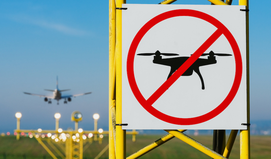
As a drone pilot, one of the first lessons you need to know is that you can’t just fly your drone anywhere. Whether it’s because of reasons related to safety or national security, there are certain areas where drone flight is restricted or outright prohibited.
Depending on the type of airspace, it may still be possible for you to be granted permission to fly a drone in otherwise restricted places. This is the essence of an airspace authorization and it is only granted by request. What are the different types of airspace authorization that a drone pilot should know about?
When is airspace authorization needed?
Depending on your circumstances, airspace authorization may be necessary to ensure that you’re not violating any federal laws, to maintain the safety of national airspace, or to simply get your drone to take off. Different rules apply to different places and drone models, so we’re going to break them down piece by piece.
The national airspace can be classified into three broad types: controlled airspace, restricted airspace, and uncontrolled airspace. In most cases, flying in controlled or restricted airspace will require that you secure permission from the appropriate authority.
Uncontrolled airspace is free for all as far as the FAA is concerned, although appropriate local laws may still apply. While local laws are technically not airspace-related because only the FAA has jurisdiction over airspace, it would still be prudent to secure permission from the local government unit or law enforcement.
The last type of airspace authorization has to do with any built-in geofencing features in your drone. The prime example of this is DJI’s GEO 2.0 function, but we expect this type of feature to be more commonplace as pressure mounts on drone manufacturers to design products with airspace safety in mind. A geofencing feature prevents a drone from taking off or otherwise entering into a no-fly zone.
DJI’s implementation of GEO 2.0 allows for unlocking of no-fly zones following a prescribed procedure. The stringency of the unlocking procedure also varies in the context of the type of restrictions in the area of flight.
Flying in controlled airspace
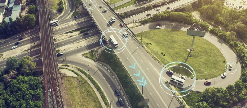
Controlled airspace typically occurs in the areas immediately surrounding airports. The shape and size of the controlled airspace around an airport depend on the amount of air traffic that the airport regularly receives, as well as the size and shape of its runway.
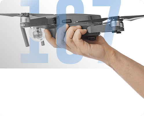
Under the old rules, drone pilots licensed under Part 107 need to apply for an airspace waiver before they can be granted the authorization to fly in controlled airspace. Although the FAA granted a lot of these waivers, it also took them up to 90 days to grant an authorization. For drone pilots who relied on their operations for a living, the long waiting time for waiver approval made them inflexible on when and where they can offer their services.
Recreational drone pilots, on the other hand, had no access to this waiver system. In the absence of any official procedure for securing airspace authorization, recreational drone pilots typically had to call up the air traffic control (ATC) facility in charge of the controlled airspace they wanted to fly in. At that time, verbal approval was considered enough permission.
In early 2017, the FAA launched the Low Altitude Authority and Notification Capability (LAANC), a system that allows drone pilots to receive almost-instant responses to requests for an airspace authorization. This was the result of a collaboration between the FAA and various stakeholders including drone manufacturers, communities, and operators.
Making requests through LAANC can be done using any of a moderately long list of drone flight apps. All relevant information is provided through the app, including the nature of the operations, the personal details of the drone pilot, and the registration number of the drone to be used. The approval system for LAANC is automated, allowing for a rapid turnaround. In most cases, a drone pilot making a request through LAANC can expect a response in less than a minute.
One of the best things about LAANC is that it managed to consolidate the requirements for airspace authorization for both recreational and professional drone pilots. Although it was initially offered only for Part 107-licensed drone pilots, the service expanded in 2019 to also accommodate recreational drone pilots. The approval process is essentially the same, except that professional drone pilots will need to specify that they are flying under Part 107 rules.
Flying in restricted airspace
Seeking approval for flying drones in restricted airspace is a lot more difficult because of the nature of reasons for declaring restricted airspace in an area. In most cases, the FAA no longer has jurisdiction over the flight restrictions in a restricted area. Thus, there is a need to secure permission from the appropriate authority or agency – given you can figure out which group that is.
Restricted airspace is generally declared for reasons pertaining to safety or national security. More specifically, the typical reasons for declaring restricted airspace include military operations, airshows, artillery testing, emergency response, search and rescue operations, or large crowd-drawing events.
There are also certain facilities such as military camps, government buildings, and jails which are strictly no-fly zones.
To be clear, most of restricted airspace is clearly marked in sectional charts. The major exception would be TFRs or Temporary Flight Restrictions. As its name implies, this type of restricted airspace is declared for reasons that are fleeting in nature, such as the movement of the President or Vice-President in the area. The gravity of the restriction, however, remains the same.
There really is no prescribed procedure for acquiring approval to fly in restricted airspace, except that you need to secure approval from the appropriate authority. For instance, drone flight over a military camp is only allowed with the written permission of the camp’s commanding general.
Our advice is this: unless you’ve been contracted by the organization who has authority over the restricted airspace, then it’s very unlikely for you to gain permission to fly your drone in it. There are types of restricted airspace that don’t require an authorization, such as warning areas, although drone pilots are advised to practice extreme caution.
Unlocking geofencing features
A geofence isn’t exactly a form of airspace authorization as much as it’s a built-in feature in drones that prevents them from operating in no-fly zones. Right now, there are only a few drone models that support geofencing features. However, popular drone brand DJI made an unprecedented move when they installed geofencing on all their drones via firmware update a few years ago.
The Geospatial Environment Technology (GEO) is now in its 2nd version and has become a staple feature in all new DJI drones. Its database is DJI’s very own Flysafe Geo Zone map where several types of no-fly zones have been defined and delineated. By default, DJI drones are restricted from taking off in no-fly zones except in Altitude Zones, Warning Zones, or Enhanced Warning Zones.
DJI offers two methods for unlocking flight in no-fly zones – a Self Unlock or a Custom Unlock. The Self Unlock option is the simpler of the two and applies to Authorization Zones. To do a Self Unlock, you only need to provide details of your planned drone flight missions such as the location, time, date, and the serial number of your flight controller. The flight license is then imported to the drone via the DJI GO app.
For Restricted Zones, which includes controlled airspace, you will have to do a Custom Unlock. This typically requires you to get permission from an authority outside of DJI and send a proof of said permission to DJI before you can get the geofencing feature unlocked.
In the case of controlled airspace, you will still need to go through the standard LAANC process and send a copy of the airspace authorization to DJI via their website. This makes the process of flying in controlled airspace a bit more complicated for pilots who own DJI drones. The redundancy of LAANC and GEO 2.0 has been the geofencing feature’s biggest drawback and one that has proved to be off-putting for many DJI drone pilots.
So far, DJI is the only drone brand that has rolled out a massive geofencing function for all their drones. It’s not unreasonable to think that some other brands will follow suit. Hopefully, DJI can iron out the problems with GEO 2.0 and streamline its process so that they can serve as the standard for other brands.
Flying in national parks
All National Parks in the US are under the jurisdiction of the National Park Service (NPS), including a huge number of rivers, biking trails, monuments, historic sites, and battlefields. The first thing that a drone pilot needs to know is that the NPS forbids any type of drone operations in the sites under their jurisdiction.
According to the NPR, the presence of drones in National Parks poses a safety threat to park visitors and employees and disrupts the serenity in these parks. The noise created by drones can also be a nuisance to wildlife who are inhabitants in these parks. In the case of historical sites, the US is hardly alone in the decision to ban drone operations – the same can be said in sites like the Taj Mahal or Machu Picchu.
It’s possible for the NPS to grant an authorization to fly a drone in their sites if they receive a written request. According to their rules, they only grant such requests if they are related to research or scientific studies. This is bad news if you were planning to shoot aerial photos in the Grand Canyon for a professional project that you’re working on – the NPS isn’t so keen on allowing commercial drone operations.
If you badly need a shot of a National Park, a possible workaround is to fly just outside its periphery. Keep in mind that the FAA still has jurisdiction over all of national airspace, so you should be safe as long as you stay outside the boundaries of a National Park. After all, what’s the point of having a flying camera if you can’t be creative about how you use it?
Final thoughts
Dealing with no-fly zones can be a huge headache but is something drone pilots simply need to accept as a way of life. With drones becoming more popular by the day, it was really only a matter of time before drone pilots were subjected to the same level of regulation as other airmen.
Through the years, the FAA has made efforts to make compliance to airspace restrictions easier for drone pilots. The creation of the LAANC system was a huge leap in this regard and one that was welcomed unanimously by the drone flight community. Other aspects of airspace authorization still need some work, particularly its integration with geofencing features. Little by little, we should be able to strike a balance that works for all stakeholders.