-
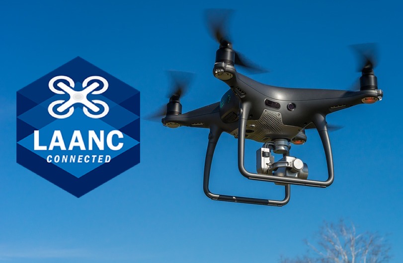
What is LAANC?
-
A step-by-step guide to sending LAANC requests through KittyHawk
- Open the app and review the opening screen
- Specify a location for your planned drone operations
- Specify the extent of the area and the maximum altitude
- Specify the date and time
- Check the details of your request
- Review and agree to comply with FAA flight rules
- Receive your authorization
-
Final thoughts
Airspace authorization is an aspect of drone flight in which both recreational and professional drone pilots overlap almost perfectly. The restrictions against flying in controlled airspace can be bothersome but practically all drone pilots will agree that they are necessary.
Fortunately, the FAA has made measures to make the process of securing airspace authorization easier for both professional and recreational drone pilots. This is through the LAANC system, a fairly new and much more convenient platform that drone pilots can use to request for airspace authorization.
In this article, we’ll take you through a step-by-step guide on requesting for LAANC authorization using KittyHawk, one of the most popular drone flight planning apps available today.
What is LAANC?
The Low Altitude Authorization and Notification Capability (LAANC) was introduced by the FAA back in 2017, effectively superseding all previously implemented protocols for requesting for airspace authorization. LAANC can be accessed through many of the popular drone flight planning apps, including KittyHawk.
LAANC is a mostly automated platform for centralized acceptance and processing airspace authorization requests. This means that drone pilots can receive an almost-instant response when they make airspace requests through LAANC. This has allowed drone pilots to become more flexible in the places where they can fly without compromising airspace safety.
Initially, the privilege of accessing LAANC was exclusive to drone pilots. In late 2019, the FAA expanded the coverage of LAANC and finally allowed recreational drone pilots to request for airspace authorization following practically the same procedure. This was a huge benefit for recreational drone pilots who previously had no way to legally fly their drones in controlled airspace.
Right now, the list of apps that are compatible with LAANC is still limited. An even shorter list allows for requests made by recreational drone pilots. The procedure for making LAANC requests should be pretty similar across different apps, but it would be a good decision to stick to one to avoid confusion. Right now, we’re focusing on the specifics of making a LAANC request in KittyHawk.
A step-by-step guide to sending LAANC requests through KittyHawk
Once you have downloaded KittyHawk, simply open the app and log in to your account. First-time users will have to sign up for an account.
Open the app and review the opening screen
The opening screen of KittyHawk is a map centered on your location, which is highlighted. On the same map, you should be able to see any airports near your location with a grid overlay. The grid is based on the FAA’S UAS Facility Map. The grid sections can have different colors (green, yellow, or red) that pertain to the different levels of restriction within that airport. There will also be areas in the map, shaded gray, that are not covered by LAANC.
From this map, you can click the “Add” option at the bottom of the screen and choose “Request LAANC Authorization.”
Specify a location for your planned drone operations
Choosing the option to request for a LAANC authorization should bring you back to the map with your current location highlighted. You can ask for authorization for your current location or another location simply by moving around the map and tapping on where you want to fly. This should move the map marker. Make sure you are actually tapping a location in controlled airspace and inside one of the colored grid sections.
Clicking on any location should bring up a new tab on the left side of the screen. Click on this tab to review the details in that particular patch of controlled airspace. This tab will include information on the name of the airport, the airspace classification, and the extent of the permission that can be granted via LAANC.
In the same tab, you can review the current weather conditions for the location that you have selected. KittyHawk provides a pretty comprehensive weather summary which includes the current temperature, wind speed and direction, humidity, visibility, and the estimated time of sunset.
At this point, you can check and compare the difference between the three grid colors in the UAS Facility Map. Green squares are the most relaxed in terms of restrictions, providing access up to 400 feet. Yellow squares allow for flight only up to 250 feet. Inside red squares, drone flight is prohibited, and airspace authorization via LAANC will not be granted.
Keep in mind that drone flight in green and yellow squares will still require LAANC authorization.
Once you have selected a location and reviewed the associated details, click the “Get Authorization” button on the left tab.
Specify the extent of the area and the maximum altitude
When you click the “Get Authorization” button, the first dialogue window that pops up will ask you if you’re flying under Part 107 rules or recreational drone flight rules. This is entirely your call, and the process is only slightly different between the two options.
After choosing the rules you want to fly in, the app will again bring you back to the map with a zoomed-in view of the grid you selected. You will then need to highlight the extent of your planned operations by dragging the corners of the pre-defined area that the app will generate.
Take note that your selected area can overlap between two grid sections. This will require you to fly under the stricter ruleset – when overlapping between green and yellow squares, the rules for the yellow square will have to be followed.
There is also a limit to the extent of the area for which you can request for authorization. The app will let you know if the area you selected is too large.
At the bottom left side of the map is a slider that you can use to select the altitude at which you want to fly. You can slide the cursor at 50-meter intervals between zero to 400 meters. You will have to be cognizant of the altitude limits of the grid section you selected – the app will not let you choose altitudes above 250 meters if you’re in a yellow area.
Once you’ve set the area and the maximum altitude, click ‘Next.’
Specify the date and time
You will then be brought to another window where you will specify the date, time, and duration of your planned drone operations. The app will inform you of conditions where LAANC authorization cannot be granted – for operations beyond civil twilight, operations of multiple aircraft, and planned operations more than 90 days in advance.
This window is pretty straightforward. There’s no restriction on the date and time settings. The duration can be adjusted by 15-minute intervals but is otherwise unrestricted.
If the time and date details are final, click ‘Next.’
Check the details of your request
The next window will just be a summary of the details you have provided so far. Make sure that the date and time are accurate. This window will also let you know if your proposed operations are eligible for auto-approval. Otherwise, you will have to seek for airspace authorization outside of the LAANC system.
Once you’ve checked all the details and confirmed that they are correct, click ‘Next.’
Review and agree to comply with FAA flight rules
The next window will have a list of rules that the operator must comply with. Beside each rule is a checkbox that you will need to tick before you can move on to the next section. The list of rules will vary depending on if you’ve chosen to fly under Part 107 or recreational rules.
Pay attention to this list, particularly the provisions for checking for NOTAMs and TFRs. If you’re requesting authorization in advance, it would be a good idea to check for NOTAMs and TFRs 24 hours before your planned operations. The app helpfully provides links to where you can scan for relevant NOTAMs and TFRs.
Once you’ve ticked all the checkboxes, click the ‘Agree & Submit’ button. This submits your request for processing.
Receive your authorization
Shortly after submitting your request, you should receive approval via text message in less than a minute. The text message will contain the details you’ve provided in your request including the date, time, and duration of operations, as well as the maximum altitude you’re allowed to fly in.
All things considered, KittyHawk provides a platform for filing quick and easy airspace authorization requests. All the steps are explained well and the interface for each is quite intuitive. Even first-timers should not have much trouble accessing LAANC through KittyHawk.
Final thoughts
Before LAANC was around, Part 107-licensed drone pilots had to wait several weeks before they can be granted an airspace waiver to operate in controlled airspace. Recreational drone pilots had it worse as they had no official avenues for filing airspace requests.
LAANC has been a welcome change to the drone community’s system of airspace safety. Not only does it allow for a quick turnover of requests, but the process has become incredibly easy, as demonstrated by this step-by-step guide for KittyHawk.