Best Places to Fly
Your Drone in Hartford
Welcome to this wiki. The goal of this wiki is to crowd-source drone information. Having said that, information may be inaccurate, out-of-date, and should not be relied upon for legal advice.
Hartford Drone Flying
Locations Map
1. Hartford Reservoir No. 6
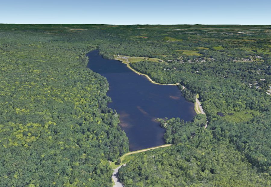
Hartford Reservoir #6 is one of numerous MDC water treatment facilities in W. Hartford, spanning 3000 acres. Try not to let the title put you off. The landscapes that surround this chain of manmade lakes or reservoirs are nothing short of spectacular. Drone pilots have much flying space to explore, with beautiful aerial views as far as the eye can see.
2. Bushnell Park
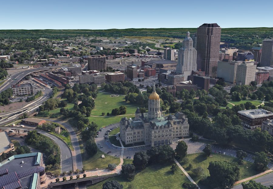
Bushnell Park has been around a while. It’s the county’s oldest publicly-funded park, dating back to the mid-1850s. There’s around 50 acres of gorgeous green space for visitors to enjoy. Camera drone enthusiasts have plenty to feast their lenses on. Tree lovers can explore more than 150 species, many of which are rare native varieties. The park’s serene pond is in stark contrast to the Connecticut State Capitol Building towering in the background.
3. Ragged Mountain Memorial Preserve
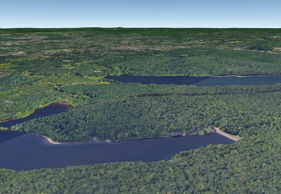
Ragged Mountain Memorial Preserve has always been a popular place for hikers and climbers. Its 761ft summit provides breathtaking, panoramic views of nearby Connecticut. Set in Berlin, CT, the densely-forested nature preserve is now a magnet for drone photographers. That’s no surprise considering the rugged, natural beauty and incredible views. Your drone’s lens can also explore lofty cliffs and nature trails that navigate around fairytale ponds.
4. Hockanum River Trail
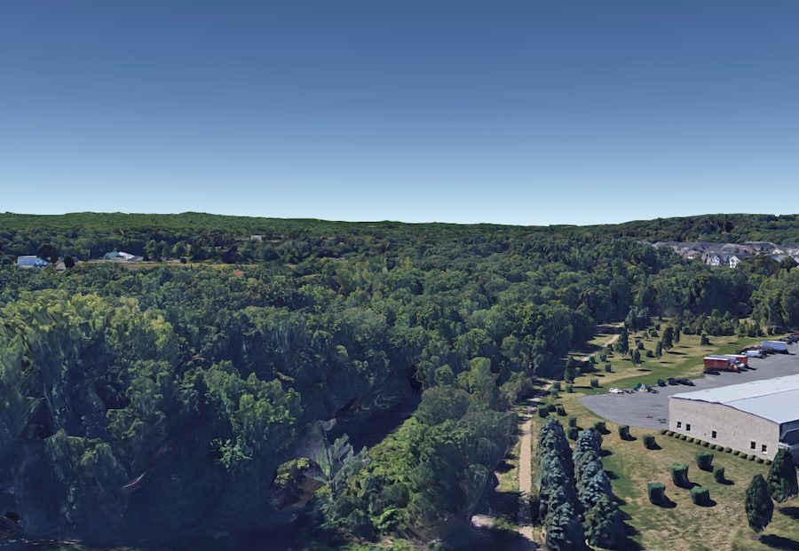
This relatively easy walking trail takes you through a series of swamps and marshes along the Hockanum River. It has space for flight practice and also some opportunities for photography, although you will have to be creative in the angles of your shots. There is a lot water and wet ground here, so it’s best to bring a landing pad and choose your landing spot carefully.
5. JB Williams Park
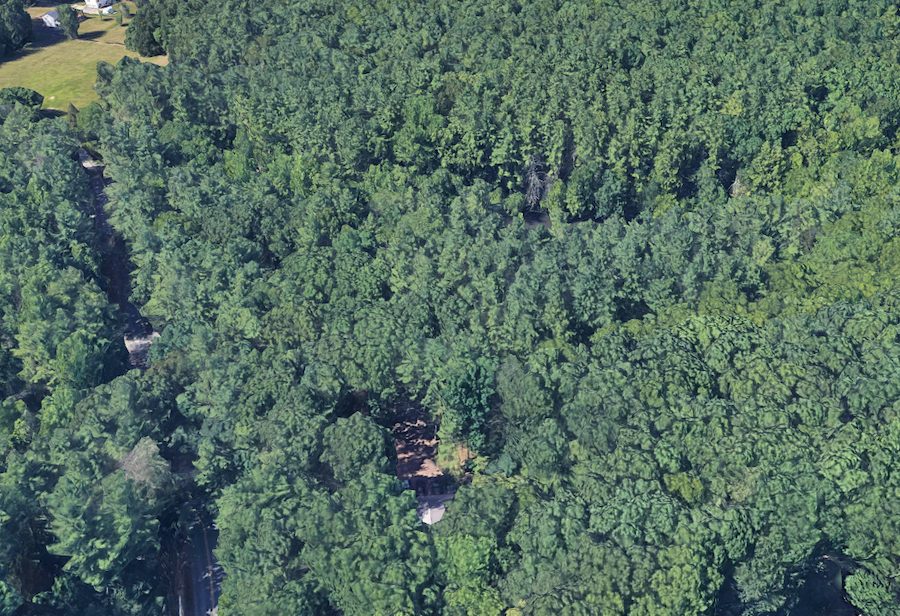
JB Williams Park along Neipsic Road has several dozen acres of highly vegetated woodland. If you can chance upon the park on a low-traffic day, the dense trees can make for a makeshift FPV course. You can also fly at higher altitudes for aerial photography.


