Best Places to Fly
Your Drone in San Diego
Welcome to this wiki. The goal of this wiki is to crowd-source drone information. Having said that, information may be inaccurate, out-of-date, and should not be relied upon for legal advice.


San Diego Drone Flying
Locations Map
1. Coronado Cays Park
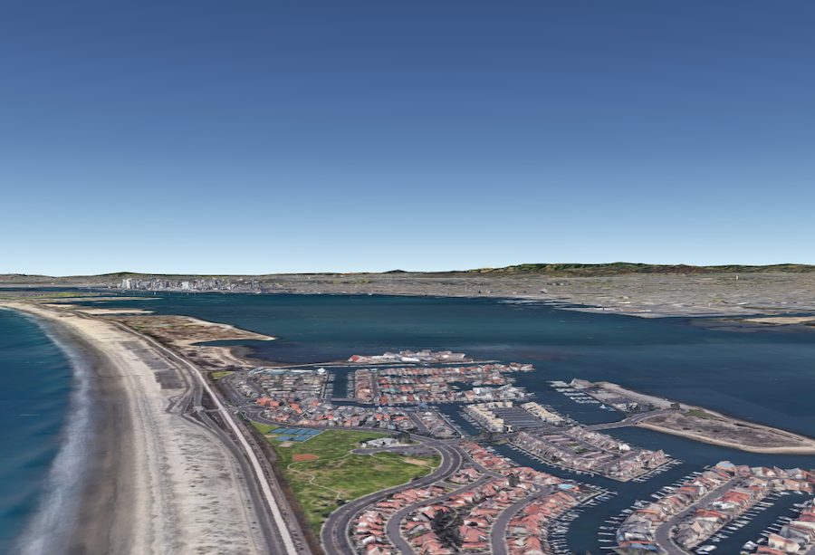

Coronado Cays Park is a short distance from San Diego in Coronado. The park encourages human activities with its flat spread-out grassy strip. There aren’t any trees here, which makes it an ideal space for flying drones. It doesn’t sound too exciting, but it’s description is misleading.
The long green field gives way to the Pacific Ocean on one side and the deep, natural, San Diego Bay on the other side. Drone pilots can capture dramatic postcard sunsets set against silhouetted feathered-leaved palm trees.
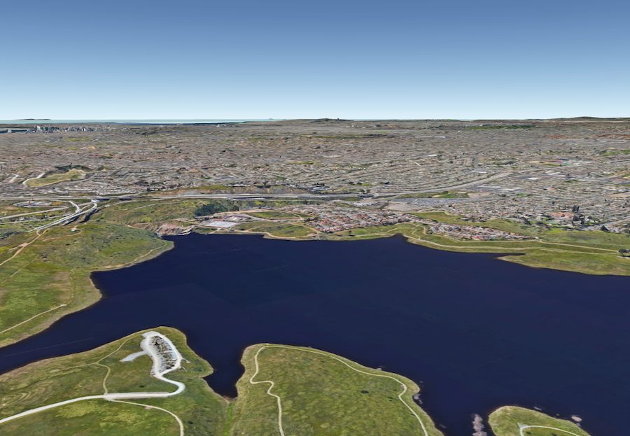
2. San Vicente Reservoir
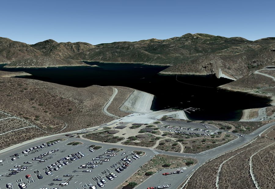
Consider a trip to the deep San Vicente Reservoir if rugged aerial landscapes are your thing. This impressive reservoir is the result of the mighty San Vicente gravity Dam in San Diego County. On a sunny day, the lake’s 1,600-acre surface emits a gorgeous blue color. The way the water contrasts with the surrounding mountains and high clouds is striking.
3. Fiesta Island
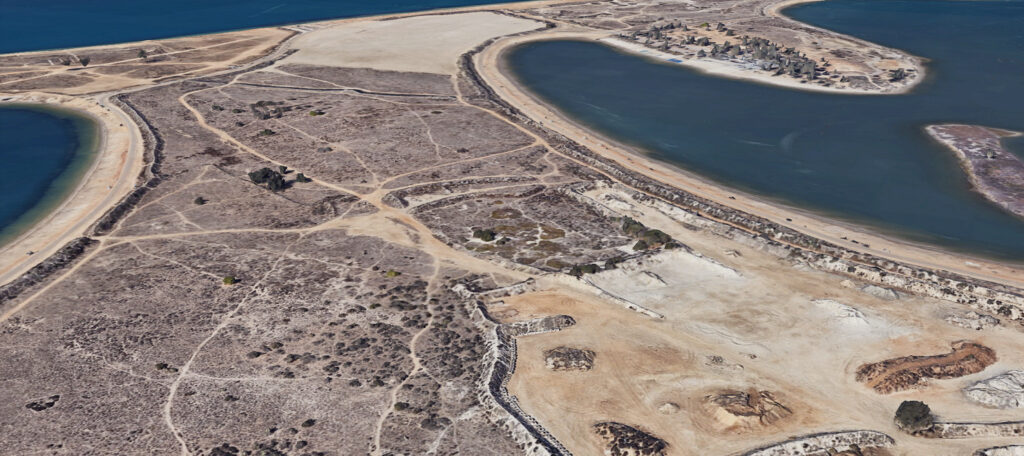
The northern end of Fiesta Island is class G airspace and provides a beautiful view of the Mission Bay area with the Pacific Ocean and San Diego skyline in the distance. The open area is flat sandy ground with a few low level trees and scattered brush. On the northeastern end of the island, there is a California Least Tern Nesting Area that is fenced and should be considered a No-Fly zone.
Except for the surrounding beach, the rest of the area is seldom occupied and provides a perfect open space to practice flying or taking photos/videos of the various watercraft (jet skis, sailboats, power boats, etc. ) on the bay. The southern end of the island is Class B controlled airspace, but has LAANC approval available to 100′.
NOTE: There have been reports of drone pilots receiving “Restricted Area” warning messages when flying at the southern portion of Fiesta Island.
4. Sweetwater Reservoir Spring Valley
The 960-acre Sweetwater Reservoir is another of California’s awe-inspiring manmade lakes. It takes its name from the old 1888 dam on Sweetwater River that forms the lake. There’s a 2.5-mile shoreline that’s popular with casual anglers, especially in Springtime. The attractions for drone users are the wide-open spaces, mountainous backdrop, and picturesque trails.