Best Places to Fly
Your Drone in Birmingham
Welcome to this wiki. The goal of this wiki is to crowd-source drone information. Having said that, information may be inaccurate, out-of-date, and should not be relied upon for legal advice.
Birmingham Drone Flying
Locations Map
1. Oak Mountain State Park
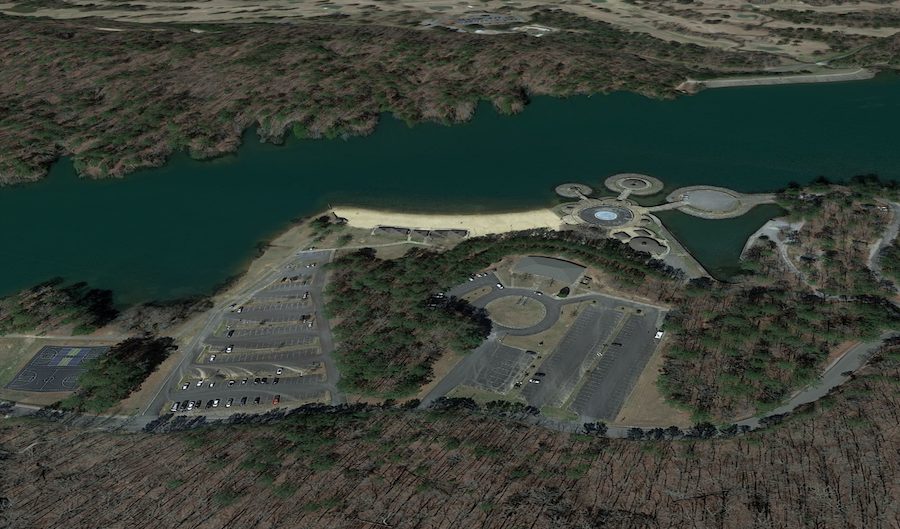
The publicly owned Oak Mountain State Park in Pelham is an impressive recreational area. Located only 20 miles south of Birmingham, it boasts 9,940 acres of breathtaking beauty. The attractions for fun flyers and aerial photography pilots are many. It has vast open spaces, a collection of lakes, rocky waterfalls, creeks, pine-studded ridges, and ancient hardwood forests.
2. Turkey Creek Nature Preserve
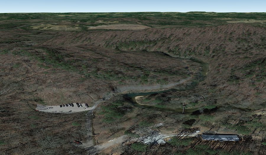
Turkey Creek Nature Preserve Pinson is only 15 miles north of Alabama’s Birmingham City. This 466-acre reservation awards visitors with stunning beauty from the ground and the air. It’s a fantastic place to fly drones, either for fun or for aerial filming along and around the Creek Falls.
3. Railroad Park
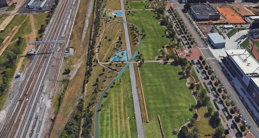
Railroad Park in downtown Birmingham, Alabama, is a landscaped park with alluring beauty. Its stunning open green space is around 19 acres and an excellent place to fly drones for fun or filming. It rewards videographers with a magnificent urban skyline, but that’s not all. The aerial views take in its lake, trains, and train tracks against that spectacular city backdrop.
4. Talladega National Forest
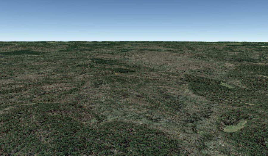
Talladega National Forest in Brent, Alabama, consists of 392,567 acres of spectacular landscapes. Few drone pilots want to leave this place, whether they’re flying for fun or filming from the skies. The rugged terrain rewards visitors with dense oak and pine forests, steep ridges, lakes, streams, and scenic waterfalls. Aerial landscape photography doesn’t get much better than this.
5. Slagheap Village
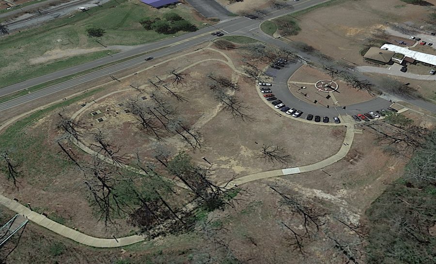
The Slagheap Village or Cahaba Project is a historic district that once had hundreds of residential units, schools, and an active community in World War II. Nowadays, it’s a great place to walk along the Cahaba River or to have a picnic. On off-peak days, the wide open sace in Slagheap Village is an excellent spot for drone flight practice. The tall oak trees and view of the river are also great for aerial photography.
6. Lake Purdy
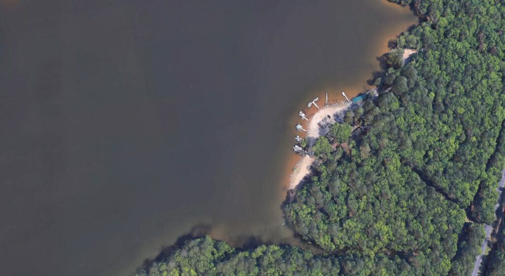
Lake Purdy is a spectacular reservoir that provides drinking water and recreational fun in Birmingham, Alabama. Drone pilots who love the water will enjoy flying and filming over its glassy surface. The massive lake spans some 1050 acres, surrounded by a backdrop of 7800 acres of ancient, hardwood forest.
Don’t miss this special place if picturesque views are your thing.


