Best Places to Fly
Your Drone in San Bernardino
Welcome to this wiki. The goal of this wiki is to crowd-source drone information. Having said that, information may be inaccurate, out-of-date, and should not be relied upon for legal advice.


San Bernardino Drone Flying
Locations Map
1. Mackay Park, Lake Arrowhead
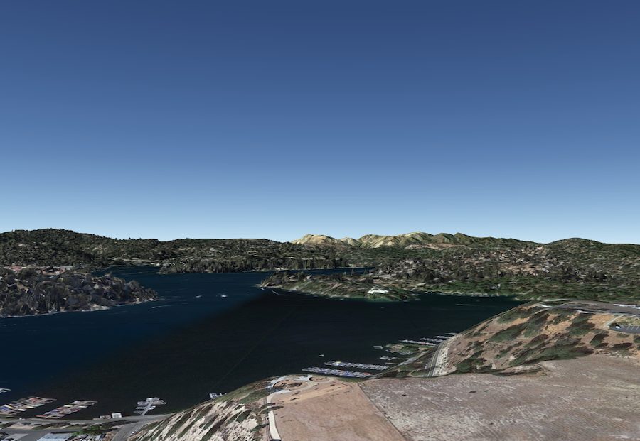

Mackay Park boasts outstanding beauty and is San Bernardino’s only recreational space in the area. The park spans along Lake Arrowhead’s deep blue eastern shores surrounded by a stunning mountainous backdrop. A viewing deck and adjacent walking paths overlook the chocolate box scenery. It’s easy to see why Mackay Park lures drone photographers like bees to a honeypot.
2. Sugarloaf Mountain
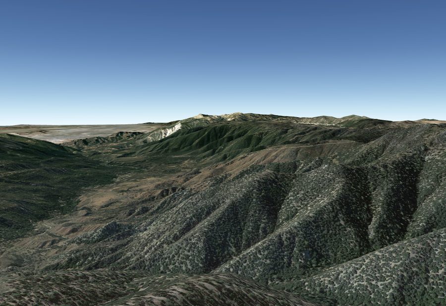
Sugarloaf Mountain stands at 9,952ft and is the tallest in San Bernardino’s rugged Mountain range. Its peak is easily visible on clear days from most parts of the Big Bear Valley. The diverse conditions include valley views, rocky deserts, and high elevation alpine habitats. Aerial shots reveal natural forests as far as the eye can see. Sugarloaf Mountain is a place of expansive natural beauty. It’s obvious why this is an exciting place for drone landscape photography.