Best Places to Fly
Your Drone in Sacramento
Welcome to this wiki. The goal of this wiki is to crowd-source drone information. Having said that, information may be inaccurate, out-of-date, and should not be relied upon for legal advice.


Sacramento Drone Flying
Locations Map
1. River Walk Park
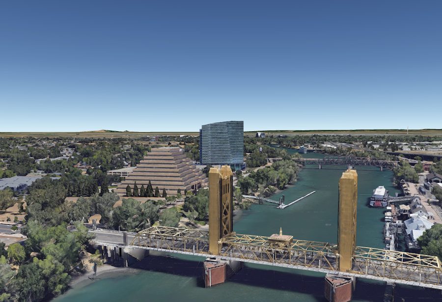

River Walk Park is situated along the Sacramento River’s west bank. Drone photographers who like to film and photograph city landscapes love this park. The striking Sacramento skyline (including views of Old Sacramento) are unique sights not found from any other location. More attractions for aerial photographers are the wide-open spaces and picturesque bridges.
2. Folsom Lake State Recreation Area
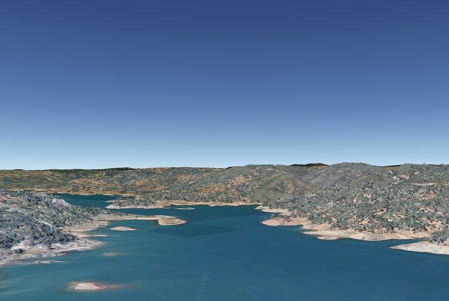
Folsom Lake State Recreation Area is 25 miles east of Sacramento, located in the foothills of Sierra-Nevada. Fans of Follow-Me technology love this place, thanks to all the recreational opportunities. Some of those include hiking, running, biking, horseback riding, and water-skiing on the deep blue lake. And pilots who want landscapes can enjoy filming the rolling slopes that lead up to the stunning Sierra Mountain range.