-
Common Drone Acronyms and What They Mean
- ADS-B – Automatic Dependent Surveillance-Broadcast
- AGL – Above Ground Level
- BVLOS – Beyond Visual Line of Sight
- FAA – Federal Aviation Administration
- FPV – First Person View
- PIC – Pilot in Command
- sUAS – Small Unmanned Aircraft Systems
- sUA – Small Unmanned Aircraft
- UA – Unmanned Aircraft
- VLOS – Visual Line of Sight
- VO – Visual Observer
- RPA – Remotely Piloted Aircraft
- RPAS – Remotely Piloted Aircraft Systems
- RPIC – Remote Pilot in Command
-
Acronyms for Regulatory Compliance
- 14CFR – Title 14 of the Code of Federal Regulations
- AC – Advisory Circular
- ACS – Airman Certification Standards
- ASRS – Aviation Safety Reporting System
- CAA – Civil Aviation Authority
- CBO – Community-Based Organizations
- CTAF – Common Traffic Advisory Frequency
- DOC – Declaration of Compliance
- FCC – Federal Communications Commission
- FRIA - FAA-Recognized Identification Areas
- FSDO – Flight Standards District Office
- FSS – Flight Service Station
- LAANC - Low Altitude Authorization and Notification Capability
- MOA – Military Operations Area
- MOC – Means of Compliance
- NAS – National Airspace System
- NASA – National Aeronautics and Space Administration
- NIST – National Institute of Standards and Technology
- NOTAM – Notice to Airmen
- NTSB – National Transportation Safety Board
- OOP – Operations Over People
- RID – Remote ID
- SATR – Special Air Traffic Rule
- SFRA – Special Flight Rules Area
- UNICOM – Universal Communications frequency
- TFR – Temporary Flight Restrictions
- TRUST – The Recreational UAS Safety Test
-
Technical Terms for Drone Operations
- ADM – Aeronautical Decision Making
- ATC – Air Traffic Control
- ATCT - Air Traffic Control Tower
- ATIS – Automatic Terminal Information System
- CG – Center of Gravity
- CRM – Crew Resource Management
- EMI – Electromagnetic Interference
- ESC – Electronic Speed Controller
- GPS – Global Positioning System
- IFR – Instrument Flight Rules
- MEF – Maximum Elevation Figure
- RM – Risk Management
- SA – Situational Awareness
- SBT – Scenario-based Training
- SRM – Single-Pilot Resource Management
- VFR – Visual Flight Rules
- VORTAC - VHF Omni-directional Range/Tactical Air Navigation
-
Meteorology and Weather-Related Acronyms
- AIRMETS - Airman’s Meteorological Information
- AWC - Aviation Weather Center
- AWOS - Automatic Weather Observing System
- IMC - Instrument Meteorological Conditions
- LLWS – Low-Level Wind Shear
- METAR - Meteorological Aerodrome Reports
- NWS - National Weather Service
- SIGMETS - Significant Meteorological Hazards
- TAF - Terminal Aerodrome Forecast
- VMC - Visual Meteorological Conditions
-
Conclusion
Drones have their own language, and it’s filled with abbreviations and acronyms that can be overwhelming for new drone pilots. But it is valuable to learn these terms for the sake of safety, compliance, and communication in the aviation world.
This guide simplifies the most common drone-related acronyms, from flight regulations to airspace classifications and technical terms.
Common Drone Acronyms and What They Mean
Let’s start off with the most basic acronyms that even beginner drone pilots should know. If you’re just starting off with drone flight, then this is the list for you.
ADS-B – Automatic Dependent Surveillance-Broadcast
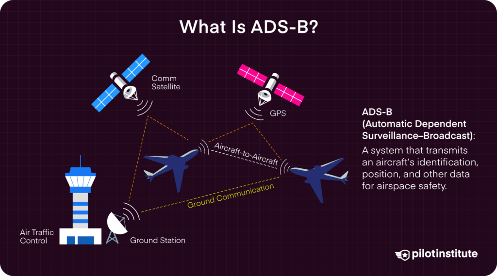
ADS-B refers to the technology used by manned aircraft to periodically transmit or receive information about their identification, position, and other important data. Transmitted signals can be received by other aircraft or ground facilities for the purpose of airspace safety and situational awareness.
Some drone models are able to receive ADS-B signals from manned aircraft. Information is typically displayed on the remote controller, showing the distance and elevation of the manned aircraft relative to the drone. This is useful in helping drone pilots yield the right of way to manned aircraft whenever necessary.
AGL – Above Ground Level
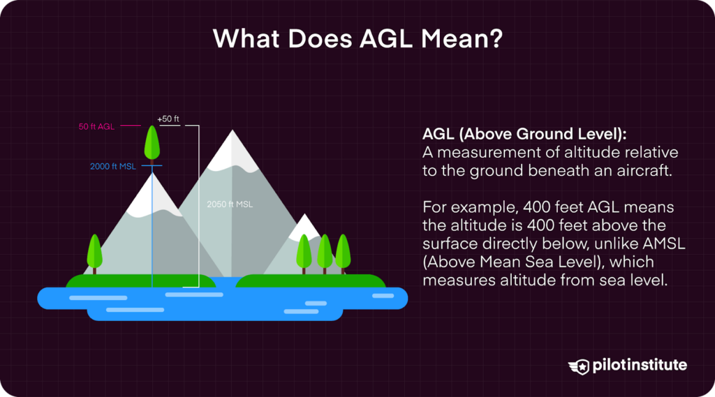
AGL is simply a way to tell the basis from which any given height or altitude is measured. Simply put, 400 feet AGL means that the 400 feet is measured from the underlying ground surface above the specific airspace. This is as opposed to other altitude measurements, such as AMSL or above mean sea level.
AGL is important for drone pilots as the regular ceiling for drone flight is defined as 400 feet AGL. If you’re launching a drone from a 100-foot hill, then that means you can still legally fly your drone to around 500 feet above sea level.
BVLOS – Beyond Visual Line of Sight
In simple terms, BVLOS is any distance that you can no longer see with unaided eyesight. This means that binoculars or telescopes cannot be used to expand the scope of BVLOS, but sunglasses and prescription glasses can be used.
BVLOS is important in drone flight because drone rules normally do not allow drones to be operated in BVLOS. Some exceptions may apply, particularly if you can get a Part 107 waiver for BVLOS approved.
BVLOS is not defined by any specific distance. Rather, it is affected by many factors, such as weather conditions and the presence of obstacles. Did you fly your drone around a building, thus breaking visual contact with it? Then that is BVLOS, even if the drone is just 100 feet away.
FAA – Federal Aviation Administration
The FAA is the US federal government agency in charge of aviation standards, air traffic control, airspace safety, and the certification of personnel and aircraft. The agency has sole jurisdiction over all of national airspace, which means their authority supersedes that of state and local governments in airspace matters.
All federal rules governing drone operations have been formulated and are being implemented by the FAA. These include the Part 107 rules, the rules for recreational drone flight, Part 107 certification, drone registration, airspace authorizations, and Remote ID. If there is any ambiguity on drone rules, the FAA always gets the final say.
FPV – First Person View
FPV can refer to a sub-class of drones that lets the pilot see what an onboard camera is seeing using a pair of low-latency goggles. The effect is that the pilot feels like they are flying while inside the drone. It is an incredibly immersive and exciting way to fly a drone, but it may not be for everyone.
From a more practical perspective, take note that flying a drone in FPV means breaking visual contact. This means that, in most cases, a drone pilot flying in FPV will need a visual observer nearby.
PIC – Pilot in Command
The PIC refers to the person who is ultimately responsible for the operations and safety of an aircraft. This is a general aviation term that also applies to drone flight. However, a drone pilot could more specifically be referred to as the “Remote Pilot in Command” or RPIC.
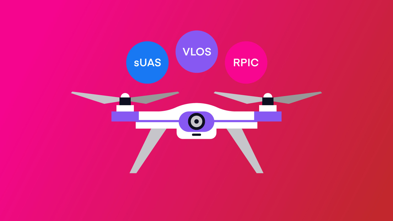
sUAS – Small Unmanned Aircraft Systems
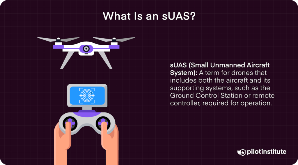
An sUAS is simply one of the many technical terms that can be used to refer to drones. This specific term indicates a “system,” which means that it encompasses the aircraft and the various systems necessary for its operation. At minimum, the Ground Control Station or remote controller can be considered to be included in the overall sUAS.
sUA – Small Unmanned Aircraft
A sUA can be considered essentially the same as an sUAS, but a small distinction can also be made. The sUA refers to the aircraft itself, excluding all the other systems and devices involved in its operations.
Based on the FAA’s definition, an sUA must weigh less than 55 pounds to be considered a “small” unmanned aircraft.
UA – Unmanned Aircraft
UA is a general term to refer to all aircraft that operate without a human pilot or crew onboard, regardless of weight or size.
VLOS – Visual Line of Sight
VLOS refers to being able to see an aircraft or drone with unaided vision (except for corrective lenses) throughout the entire flight. This means the operator must maintain direct visual contact to avoid obstacles and comply with aviation regulations.
VO – Visual Observer
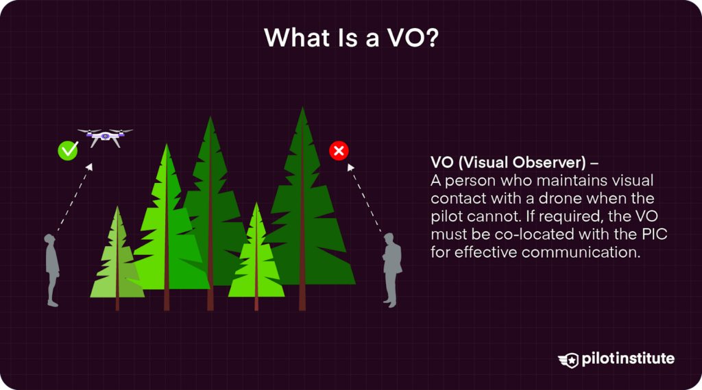
A VO is responsible for maintaining visual contact with the drone, particularly when the PIC or RPIC is unable to do so for whatever reason. If a VO is necessary for safe and legal drone operations, then they must be co-located with the PIC to allow for easy communication.
RPA – Remotely Piloted Aircraft
See the definition of sUA.
RPAS – Remotely Piloted Aircraft Systems
See the definition of sUAS.
RPIC – Remote Pilot in Command
The RPIC refers to the person directly responsible for the operations of an aircraft – specifically, an unmanned aircraft.
Acronyms for Regulatory Compliance
The following terms are important in making sure that drone pilots comply with all relevant FAA regulations.
14CFR – Title 14 of the Code of Federal Regulations
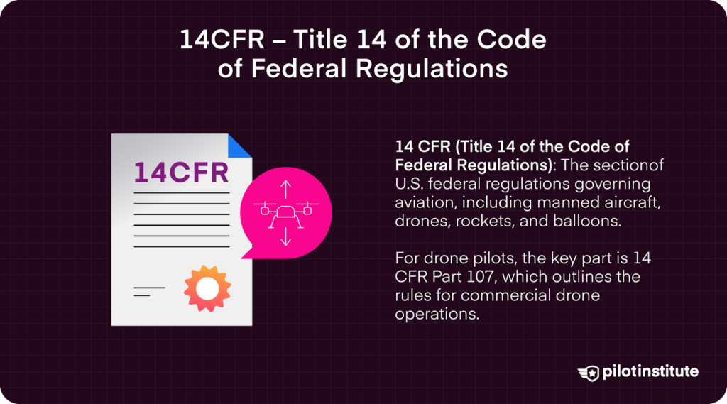
14CFR is part of the Federal Regulations that pertain to Federal Aviation Regulations (FAR). These are all the rules that govern aviation activities in the United States. These include manned aircraft, drones, rockets, and hot air balloons, among others.
For drone pilots, the most important section of 14CFR is 14CFR Part 107, more typically known as simply “Part 107.” These are the rules that drone pilots need to comply with if they are flying drones commercially.
AC – Advisory Circular
An Advisory Circular (or ACs) is a publication distributed by the FAA to deliver advisory but non-regulatory information to the aviation community. The FAA typically distributes ACs to provide guidance on acceptable means of compliance with certain rules. However, this does not mean that these guidelines are the only means of compliance.
Through the years, the FAA has published several ACs specifically addressed to drone pilots.
ACS – Airman Certification Standards
The ACS is a set of guidelines formulated and implemented by the FAA to set the minimum and skill knowledge for pilot certificates and ratings.
Drone pilots have their own ACS document that outlines all the knowledge areas essential for a drone pilot under Part 107 rules. The document also provides guidance on how the Part 107 certification exam must be conducted.
ASRS – Aviation Safety Reporting System
The ASRS is a system for the voluntary submission of aviation safety incident reports. The ASRS captures these reports, analyzes the safety data, and distributes information to the aviation community to avoid the recurrence of such incidents
It is a confidential system that accepts submissions from pilots, air traffic controllers, technicians, cabin crew, and drone pilots. The system is designed and operated by NASA, acting as a neutral third-party without any law enforcement authority.
CAA – Civil Aviation Authority
A CAA can be any national authority that regulates non-military and non-state aviation, whether civil or commercial. Most countries have their own CAAs. In the United States, the FAA has been tasked with this role.
CBO – Community-Based Organizations
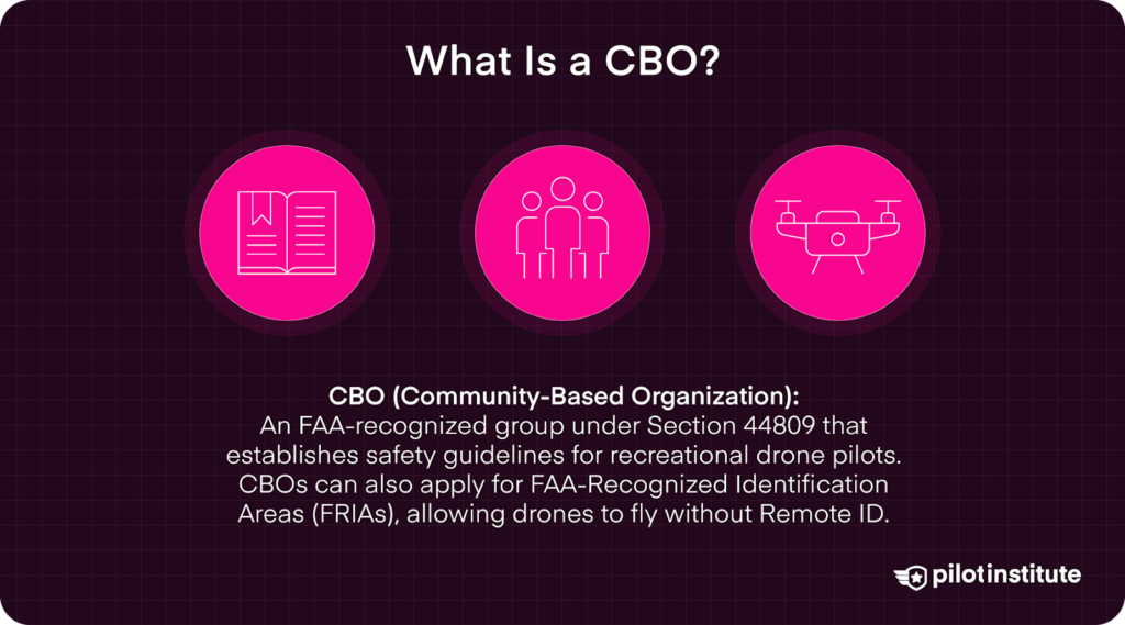
A CBO is an FAA-recognized organization that was defined under Section 44809 or the “Exception for Limited Recreational Operations of Unmanned Aircraft.” They are important for two reasons:
- Recreational drone pilots are required to fly according to the safety guidelines of an FAA-recognized CBO
- CBOs are eligible to apply for FAA-Recognized Identification Areas (FRIAs), where drone pilots can legally fly without Remote ID
CTAF – Common Traffic Advisory Frequency
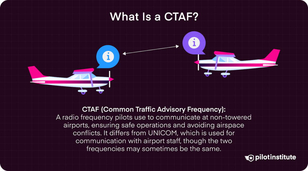
The Common Traffic Advisory Frequency (CTAF) is the radio frequency that pilots can use to talk to each other. This is useful when pilots are flying close to an airport that has no control tower. Instead of communicating with a control tower, pilots will instead use the CTAF to talk with each other to ensure that there is no airspace conflict.
Take note that the CTAF may not necessarily be the same as the UNICOM. The UNICOM is the frequency used to talk to airport staff, usually at small airports. There is a chance that the radio frequencies of the CTAF and UNICOM are the same, but they serve different purposes.
DOC – Declaration of Compliance
The DOC is a document submitted by drone manufacturers to the FAA to declare that their drones have been designed and manufactured to comply with Remote ID requirements and the FAA’s rules on operations over people. A public list of all accepted DOCs is available on the FAA website.
FCC – Federal Communications Commission
The FCC is the US agency that regulates all communications done over radio, satellite, television, and wire. This also means that the FCC dictates the radio frequency bands that are used in communication between a drone and its corresponding remote controller.
FRIA – FAA-Recognized Identification Areas
FAA-Recognized Identification Areas (FRIAs) refer to fixed sites where drone pilots can operate without Remote ID. A FRIA can only be designed upon application by an FAA-recognized CBO, and upon the approval of the FAA of that application.
Other rules under Part 107 or Section 44809 still apply within a FRIA, such as the 400-foot altitude limit and the requirement to fly within a visual line of sight.
FSDO – Flight Standards District Office
A Flight Standards District Office (FSDO) is a local field office of the FAA. It has authority on several aviation matters, including aircraft permits, certification, enforcement of regulations, and accident reporting.
Drone pilots operating under 14 CFR Part 137 for agricultural operations or other special aircraft operations are advised to contact their local FSDOs for proper certification.
FSS – Flight Service Station
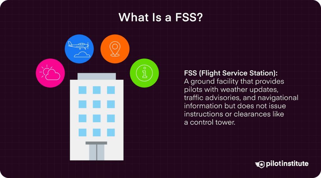
A Flight Service Station (FSS) is a ground facility that relays information to aircraft pilots. Examples of information that can be communicated by an FSS include weather advisories, traffic advisories, navigational aids, or information from military bases or homeland security.
In contrast to a control tower, an FSS is not responsible for giving instructions or clearances to aircraft.
LAANC – Low Altitude Authorization and Notification Capability
The LAANC was introduced in 2017 as a mostly automated platform that accepts and processes airspace authorization requests. For drone pilots, this means that drone flight in controlled airspace is only possible by sending a request through LAANC. Both commercial and recreational drone pilots can use the LAANC system.
A LAANC request can be done using most of the usual flight management mobile apps, such as KittyHawk or Aloft. LAANC provides responses to airspace authorization requests almost instantly. This has made it very convenient and flexible for drone pilots.
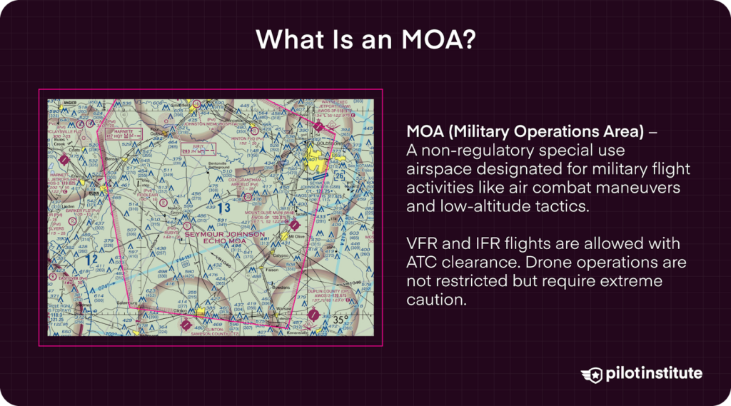
MOA – Military Operations Area
A MOA is a type of non-regulatory special-use airspace that is segregated for non-hazardous military flight activities. Activities done in a MOA may include air combat maneuvers, low-altitude tactics, or air intercepts. Designated MOAs are marked on sectional charts, along with relevant information.
VFR or IFR flights can still be done by manned aircraft in MOAs, granted that they have been cleared by ATC. Drone operations are technically not restricted in MOAs, but drone pilots are advised to exercise extreme caution.
MOC – Means of Compliance
The MOC is a companion document of the DOC that details the minimum testing, inspection, testing, or analysis needed to demonstrate compliance with safety requirements. The list of accepted MOCs is available at the FAA website.
NAS – National Airspace System
The NAS comprises the airspace, airports, navigational services, air traffic control systems, rules and regulations, procedures, and technical information that facilitate air travel in the United States. The FAA is responsible for the day-to-day operations of the NAS.
NASA – National Aeronautics and Space Administration
NASA is the US agency that is responsible for space exploration, space science, and space and aeronautics research.
The agency also conducts research on drone technology, whether in aid of space exploration or for other Earth-based applications. Notable NASA research areas include the use of drones for delivery and firefighting, autonomous drone flight, and air traffic management.
NIST – National Institute of Standards and Technology
The National Institute of Standards and Technology (NIST) is the US agency in charge of promoting and advancing measurement science, standards, and technology to promote innovation and industrial competitiveness.
The agency also does research on technology and has published standards for the safe operations of drones for emergency response applications.
NOTAM – Notice to Airmen
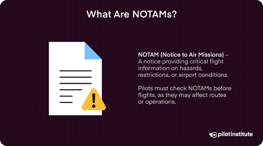
A NOTAM is a notice that contains essential information to alert pilots of potential hazards at a specific location or along a flight route. NOTAMs are publicly available. Pilots are required to check for NOTAMs along their relevant routes or locations before the start of a flight.
NOTAMs are very important in that they can provide information that can cause a pilot to change their flight plans, such as Temporary Flight Restrictions (TFRs) or an airport that has become temporarily unavailable.
NTSB – National Transportation Safety Board
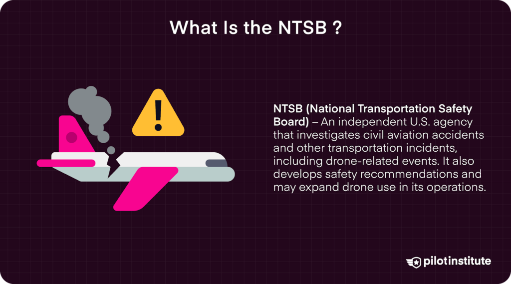
The NTSB is an independent US agency responsible for the investigation of civil aviation accidents, as well as those related to highways, pipelines, marine transportation, and hazardous materials. This mandate also extends to drone-related incidents.
Drones are also likely to become a part of NTSB’s own operations, with a drone program that is seen to expand in the coming years.
OOP – Operations Over People
As the name implies, OOP refers to the operations of drones over people, specifically non-participants who are not under a covered structure. According to Part 107 rules, a waiver will be needed to legally fly OOP unless the drone weighs less than 0.55 lbs.
RID – Remote ID
Remote ID is a technology that acts as a “digital license plate” for drones. It is an onboard module that transmits information such as the serial number of the drone, the drone’s location and altitude, and the location of the drone’s control station. This information can then be received by ground facilities or other aircraft,
As of March 2024, all drones that have to be registered with the FAA must also have Remote ID capabilities. An exception to this would apply to drone operations in designated FAA-Recognized Identifications Areas (FRIAs).
SATR – Special Air Traffic Rule
SATR are rules for aircraft operating within the boundaries of certain designated airspace are listed in 14 CFR Part 93. The actual procedures, nature and operations, and size and configuration can vary among the identified areas.
SATRs apply to all areas described in 14 CFR Part 93, but not all of them are designated SFRAs.
SFRA – Special Flight Rules Area
SFRA refers to airspace of defined dimensions within which aircraft operations are subject to rules as listed in 14 CFR Part 93, unless otherwise authorized by air traffic control. Not all areas listed in 14 CFR Part 93 are SFRAs, but SATRs apply to all these areas.
UNICOM – Universal Communications frequency
A UNICOM is a non-government communications facility used to provide airport information or traffic advisories at uncontrolled aerodromes and airports. Take note that a UNICOM is not a control tower, and thus will not give instructions pertaining to air traffic.
TFR – Temporary Flight Restrictions
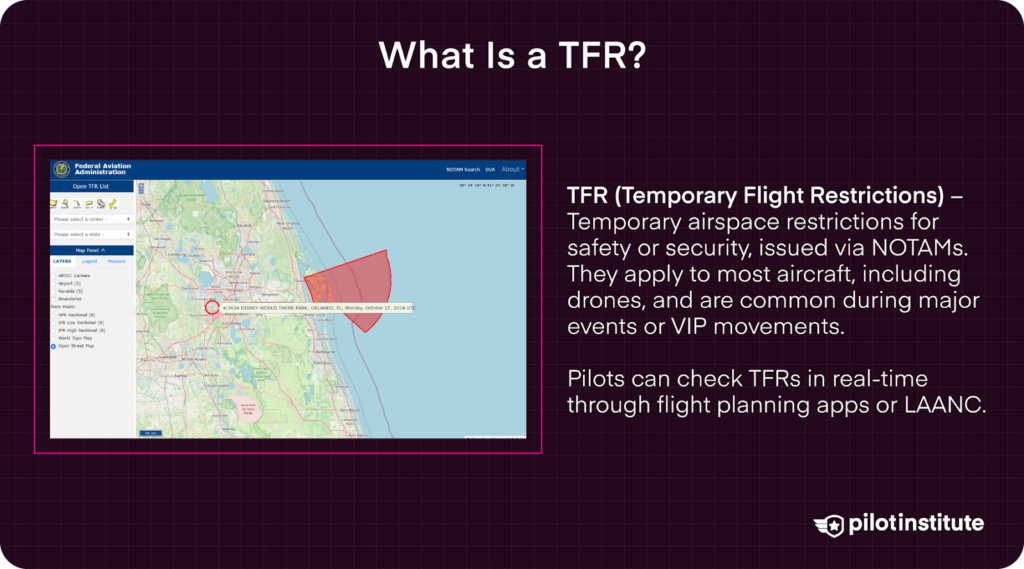
TFRs temporarily restrict access to certain designated areas of airspace, typically for safety and security purposes. These are communication to pilots through Notices to Airmen (NOTAMS) and apply to most aircraft, including drones.
Examples of situations where TFRs are announced would be major sporting events or the presence of the President in an area. TFRs are published in real-time and can be checked using drone flight planning apps or via LAANC.
TRUST – The Recreational UAS Safety Test
The TRUST is an online test that recreational drone pilots need to pass, as defined by Section 44809 or the “Exception for Limited Recreational Operations of Unmanned Aircraft.”
The test is merely a means to ensure that recreational drone pilots know the basics of airspace safety. It is not a certification test, and thus the rules are a lot more lenient.
The test is done completely online and can be re-taken any number of times in case of failure. It is also fairly quick and easy, and only takes about 30 minutes.
Technical Terms for Drone Operations
A lot of the more technical aspects of drone operations are communicated using acronyms as well. If you want to learn more about the finer points of drone flight and technology, these are the most important acronyms to know.
ADM – Aeronautical Decision Making
ADM refers to the prescribed process by which pilots can determine the best source of action in response to a given set of circumstances. The systematic approach is designed to help pilots approach troublesome situations in a calm and logical manner.
The FAA’s method can best be described as the 3-P Model named after the 3 steps: Perceive, Process, Perform. It is based on the method of gathering as much relevant information as possible, evaluating the information and all possible options, and implementing the best course of action.
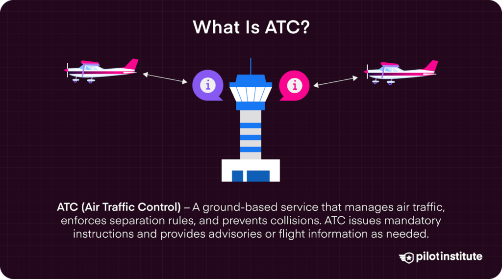
ATC – Air Traffic Control
ATC is a ground-based service to direct air traffic through a given section of controlled airspace with the primary objective of enforcing traffic separation rules and preventing collisions. Aside from issuing instructions that pilots are required to comply with, ATC can also issue advisories or flight information when needed.
ATCT – Air Traffic Control Tower
Air traffic controllers are stationed in an ATCT where they monitor the flight and position of aircraft and communicate with pilots.
Not all airports have ATCTs. In so-called uncontrolled airports, tools like CTAF and UNICOM are essential in maintaining airspace safety.
ATIS – Automatic Terminal Information System
The ATIS is a continuous and automated service that broadcasts recorded aeronautical information, used particularly in busier airports. Information transmitted via ATIS can include weather information, NOTAMs, available approaches, or active runaways. ATIS recordings are updated periodically or when there is a significant change in the information.
CG – Center of Gravity
For any given body, the CG is the average position of the weight distribution of an object. In an aircraft, the CG is the point at which the aircraft would balance if it were suspended at that point.
The location of the CG of an aircraft can be altered by many factors, such as the placement of baggage and passengers, the location of the fuel tanks, and fuel burn.
CRM – Crew Resource Management
CRM refers to the body of knowledge, skills, and training used in aviation to avoid human error and improve safety.
The practice primarily focuses on skills associated with decision-making, leadership and interpersonal communication. Simply put, CRM is about making sure that all members of the crew know their specific tasks and responsibilities.
The principles of CRM can also be applicable for single-pilot operations, which is often the case for drone operations.
EMI – Electromagnetic Interference
EMI is the disruption in electrical circuits that can be caused by outside sources. This can cause damage to electronics, or otherwise cause them to malfunction or perform poorly. Electrical shielding can help prevent EMI in modern electrical devices.
In the case of drones, EMI can be a concern when operating drones near large industrial equipment, heavy machinery, or power lines. EMI can affect drones in many ways. Typical signs of EMI can include loss of GPS accuracy, IMU instability, or motor failure.
ESC – Electronic Speed Controller
The ESC is the electrical circuit that connects a drone’s motors, battery, and flight controller. This connection allows for signals from the flight controller to be translated to changes in the speed of rotation of the motors of the drone. It is thus a crucial component in controlling a drone’s speed, direction, and altitude.
GPS – Global Positioning System
GPS is a US-operated satellite-based navigation system. It is now the foundation of virtually all navigation applications, including in devices such as smartphones and fitness trackers.
In drones, GPS serves two primary roles. The first is for simple location identification and transmission. The second function allows for drones to hold their positions using GPS, thus letting it hover in a single spot without pilot input.
IFR – Instrument Flight Rules

IFR is the set of rules that allow pilots to fly by reference to instruments in the flight deck when flying by visual reference is not safe.
MEF – Maximum Elevation Figure
The MEF, typically indicated in sectional charts, represents the height of the highest geographical feature in any given quadrant. This information is vital for aircraft to maintain a sufficient altitude separation from any tall structures.
RM – Risk Management
RM is the process by which risks are identified and analyzed, and controls are placed to eliminate or mitigate said hazards. Examples of common hazards in aviation include damage in aircraft equipment, pilot fatigue, and improper refueling of the aircraft. The practice is an essential part of aviation safety and should be practiced in all levels and parts of aviation.
SA – Situational Awareness
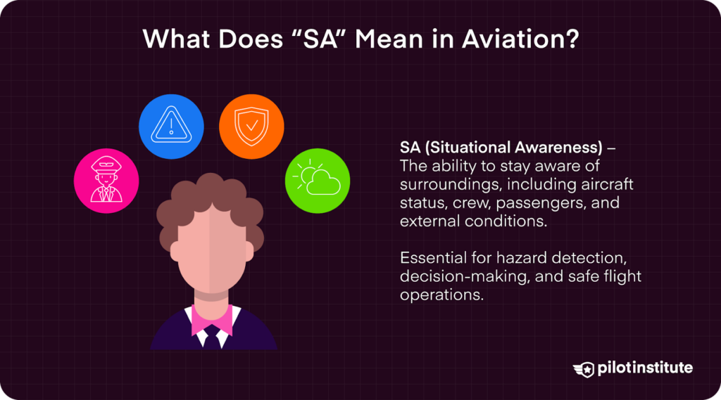
SA is the concept of being aware of everything going on around you – in the aircraft, outside the aircraft, with the crewmembers, and with the passengers.
It is important for safe aviation operations as it allows the pilot to scan for hazards, make informed decisions, communicate with crewmembers, and respond quickly and effectively.
SBT – Scenario-based Training
SBT is a training system that uses real-world scenarios to meet flight training objectives in an operational environment. It helps in teaching pilots to consider all aspects of the flight in any scenario and make realistic responses and contingency plans.
SRM – Single-Pilot Resource Management
SRM is the practice of managing all onboard and outside resources available to the pilot before and during the flight to ensure safety. A structured approach to SRM helps pilots learn to gather information, analyze it, and make sound decisions.
The FAA prescribes the 5P approach to SRM – Plan, Plane, Pilot, Passengers, and Programming.
VFR – Visual Flight Rules
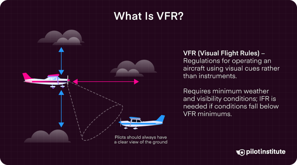
VFR is a set of regulations that allow a pilot to operate an aircraft using visual cues and without relying on instruments. VFR requires minimum weather and visibility conditions. If the weather is less than what VFR requires, then pilots will be required to use IFR.
VORTAC – VHF Omni-directional Range/Tactical Air Navigation
VORTAC is a navigational aid operating in the VHF band that is used to provide guidance along airways, air traffic service routes, and intermediate and final approach tracks. It consists of two independent components – VOR and TACAN.
Meteorology and Weather-Related Acronyms
Understanding weather conditions and meteorological reports is an essential skill for all pilots, including those operating drones. However, the language of this field is also very dependent on acronyms. To make sure that messages are not lost in translation, here are the acronyms you should know.
AIRMETS – Airman’s Meteorological Information
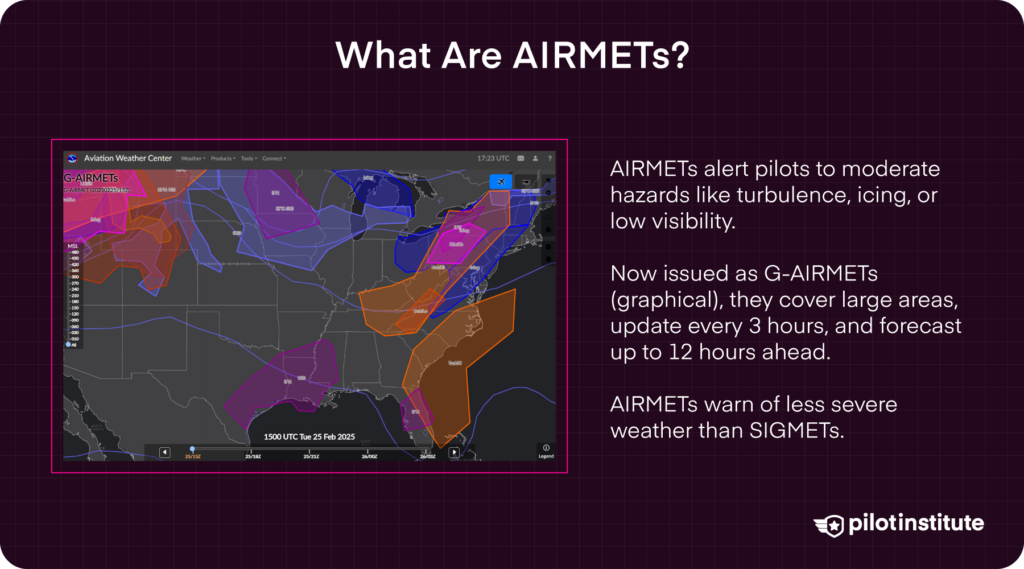
An AIRMET is a weather advisory that warns pilots about moderately hazardous conditions like turbulence, icing, and limited visibility. These conditions can affect the performance of smaller or less equipped aircraft. An AIRMET applies to an area of at least 3,000 square miles.
AIRMETs are now delivered as G-AIRMETs (graphical advisories) by the National Weather Service (NWS) and are valid for specific areas and times. They are updated every three hours and show hazards up to 12 hours ahead. If conditions change, G-AIRMETs are amended as needed.
As opposed to SIGMETs, AIRMETs provide warnings of weather hazards that are considered less severe.
AWC – Aviation Weather Center
The Aviation Weather Center (AWC) is the center under the NWS that provides weather information and forecasts for the aviation industry in the US. Aviation warnings, such as AIRMETs and SIGMETs, are issued by the AWC.
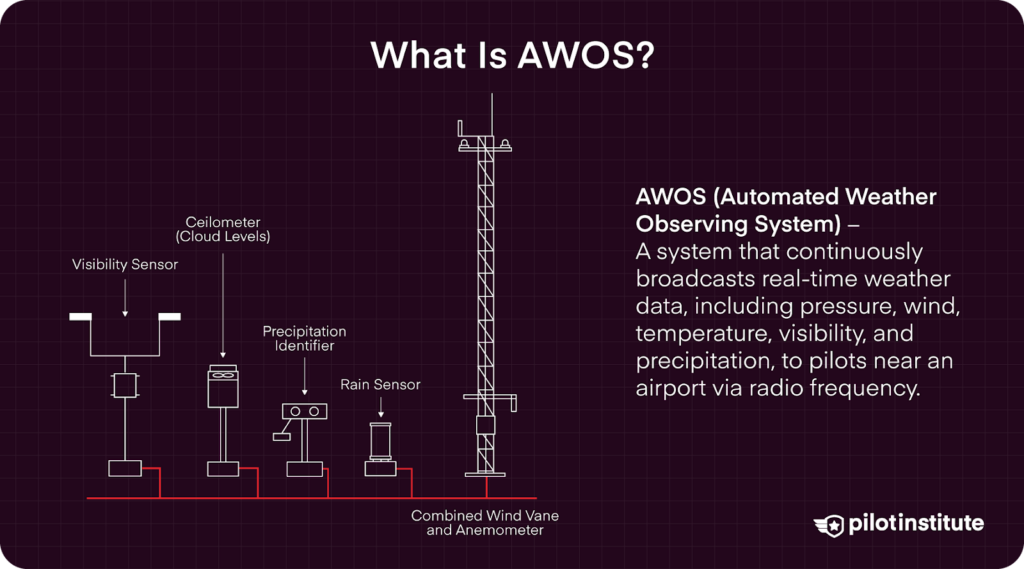
AWOS – Automatic Weather Observing System
An AWOS is a system that automatically broadcasts continuous and real-time meteorological data via radio frequency to pilots in the vicinity of an airport. They are configurable systems but typically report parameters including barometric pressure, wind speed, temperature, visibility conditions, and precipitation, among others.
IMC – Instrument Meteorological Conditions
IMC refers to meteorological conditions that require pilots to fly under IFR. This likely means that weather conditions have resulted in reduced visibility and significant cloud cover.
LLWS – Low-Level Wind Shear
An LLWS is defined as a wind shear of 10 knots or more per 100 feet in a layer more than 200 feet thick which occurs within 2000 feet of the surface. What this simply means is that the wind speed and/or direction is rapidly changing at a relatively low altitude.
An LLWS is a potentially dangerous meteorological condition that aircraft pilots will need to anticipate and compensate for to safely land or take off.
METAR – Meteorological Aerodrome Reports

A METAR is a report on the current weather conditions of the facility issuing the report. It is published according to a fixed schedule unless there are sudden and exceptional changes to weather conditions.
The format of a METAR has been standardized by the International Civil Aviation Organization (ICAO). To simplify the transmission of METARs, the information in the report is highly abbreviated. Thus, understanding METARs can take some practice.
In contrast to a TAF, a METAR pertains to current weather conditions.
NWS – National Weather Service
The National Weather Service (NWS) is the US agency responsible for making weather forecasts and reporting warnings on hazardous weather. The NWS operates local Weather Forecast Offices (WFOs), which support airports in their jurisdictions by issuing TAFs.
The NWS, through the National Centers for Environmental Prediction, also operates the AWC, which issues AIRMETs and SIGMETs.
SIGMETS – Significant Meteorological Hazards
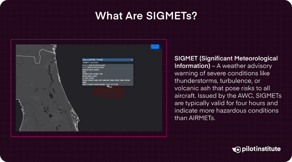
A SIGMET is a weather advisory that alerts pilots to severe weather events like thunderstorms, strong turbulence, volcanic ash, or other conditions that could pose serious risks to any flight. A SIGMET is usually valid for four hours. SIGMETs are issued by the AWC.
Compared to AIRMETs, SIGMETs warn of weather conditions that are more severe and pose flight risk even to larger and more equipped aircraft.
TAF – Terminal Aerodrome Forecast
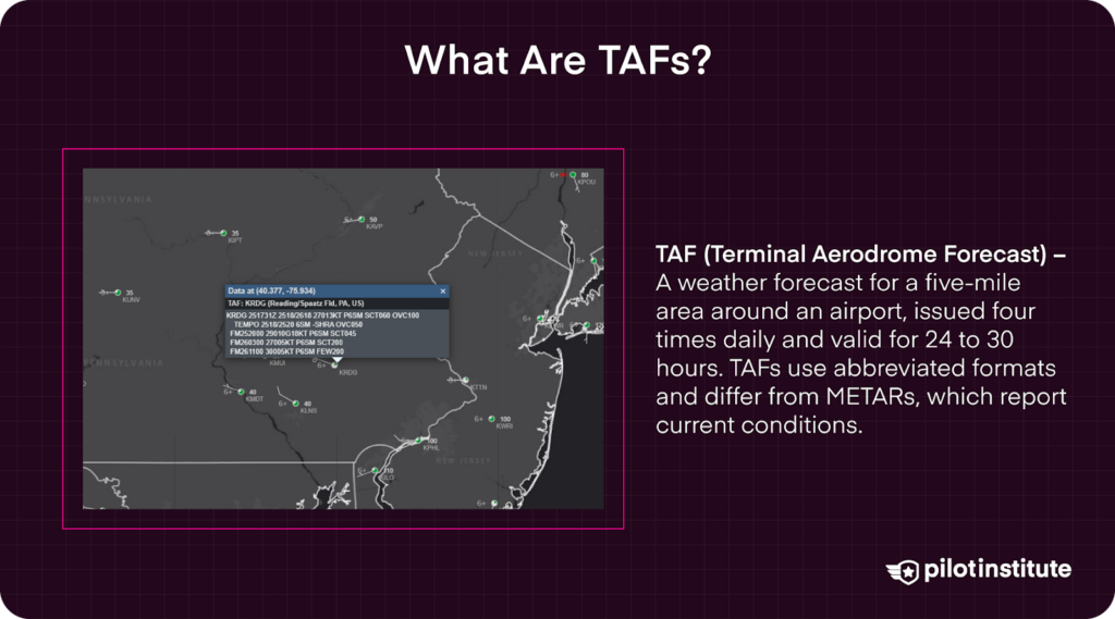
A TAF is a weather forecast released by large airports that summarize the weather forecast for the area covered by five statute miles around the airport. It is typically updated four times a day but is valid for 24 to 30-hour time periods.
TAFs present information in a highly abbreviated manner. Thus, interpreting a TAF may take some practice.
In contrast to a METAR, a TAF is a weather forecast that is considered valid for the next 24 to 30 hours.
VMC – Visual Meteorological Conditions
VMC refers to weather conditions that allow pilots to fly under VFR. This means that the weather provides enough visibility and cloud clearance for pilots to navigate and maintain separation using visual cues.
Conclusion
Acronyms are a great tool for making communication faster and more efficient. However, they also create a barrier to fully understanding a language. The field of aviation has a fairly long list of these essential acronyms, and drone pilots would greatly benefit from learning all about them.