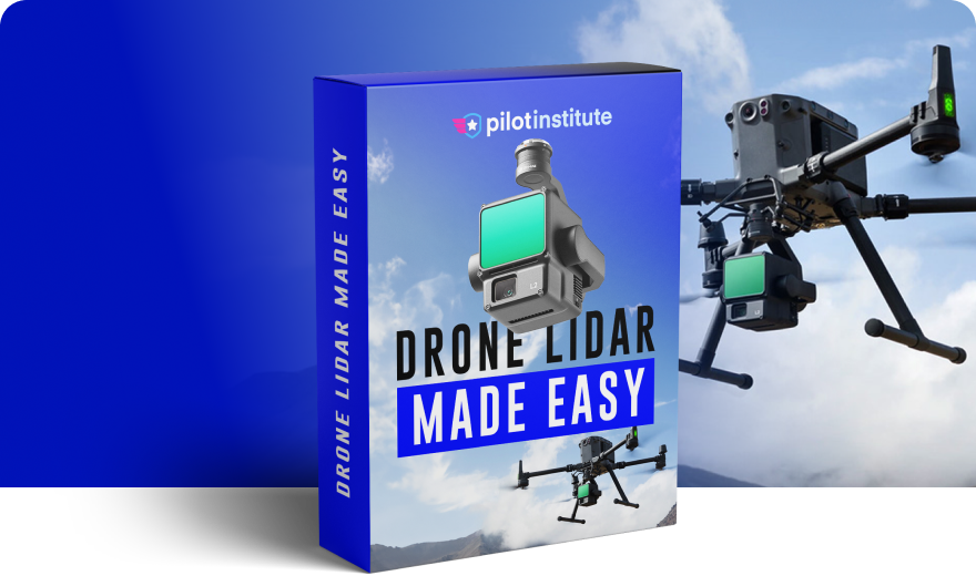
Drone LiDAR Made Easy
Go beyond the limitations of traditional drone mapping and learn how to utilize LiDAR.
- Differentiate your skills and learn how to use drones to capture LiDAR models.
- 5 hours of step-by-step instruction.
- Taught by an experienced drone mapper who has flown over 5000 missions. Watch as he shows you his step-by-step process to detailed LiDAR models.
$149 (lifetime access)
Let’s meet your instructor Taught by experts, focused on outcomes.

Jared Janacek
Join Over 250,000 Happy Pilots
$149 (lifetime access)
Description
LiDAR technology, combined with drones, is revolutionizing numerous industries.
Forestry professionals use drones with LiDAR to assess forest density and health. This helps in sustainable forest management. Additionally fire fighters use it to measure biomass and determine how fire-prone areas are.
In construction and mining, drones equipped with LiDAR provide more accurate site surveys. This leads to better planning and reduced costs.
Archaeologists utilize drone LiDAR to uncover hidden structures and artifacts, opening new avenues for historical research.
LiDAR can detect smaller objects than traditional photogrammetry. As a result, utility companies rely on drone LiDAR for inspecting power lines and pipelines.
Regardless of the use case, the key to maximizing a drone’s potential lies in specialized knowledge. Our class condenses years of expertise into a clear, actionable roadmap.
Learn to produce high-quality maps and models that clients will value using the exact tools and processes a industry expert uses every day. This class discusses LiDAR sensors from DJI, Rock Robotics, and Green Valley. It also has sample LiDAR files that you can use to sharpen your post-processing skills.
This class builds on basic drone mapping knowledge. If you are not already familiar with drone mapping, we recommend first starting with our Drone Mapping Made Easy class.
Ready to get started? Learn valuable new skills that are in high-demand.
- See the exact processes and tools an experienced drone LiDAR expert uses.
- Lifetime Access - Go at your own pace.
- 30 Day No Hassle Money Back Guarantee.
