In Partnership with Commercial UAV Expo

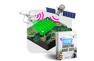
Master Drone Mapping in Just 3 Simple Steps
Every pilot knows mapping pays more, but the technical barriers feel impossible to overcome. We’ve simplified complex workflows into step-by-step training that actually works
Master our proven system and start landing $200-1500 mapping contracts—even if you’ve never processed survey data before.
Stop Competing on Price.
Start Charging Premium Rates.
Meet Your Instructor
Get the Playbook from a Successful Drone Mapper
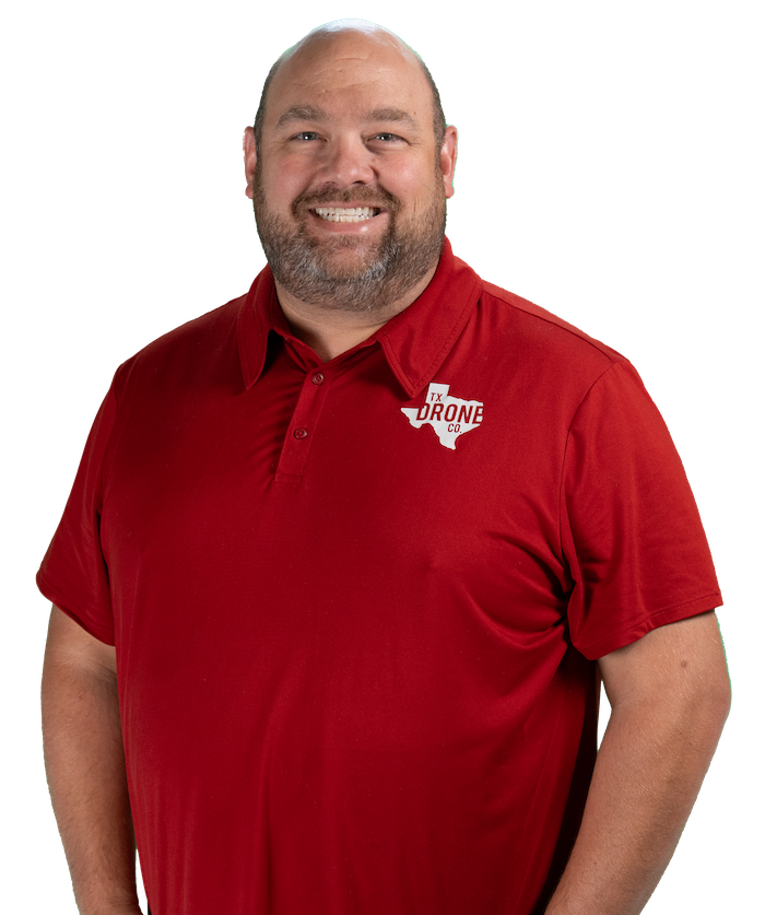
Jared earns his living from drone mapping—150+ sites monthly for mining, construction, and surveying clients. You’ll learn his exact workflows for earning $1500-3500 per job.
9,500+
150+
8
Learn Drone Mapping in 3 Easy Steps
Your Path to Professional Drone Mapping
Master the Fundamentals at Your Own Pace
9.5 hours of online mapping, surveying, and 3D modeling instruction. Self- paced videos for you to watch on your own time.
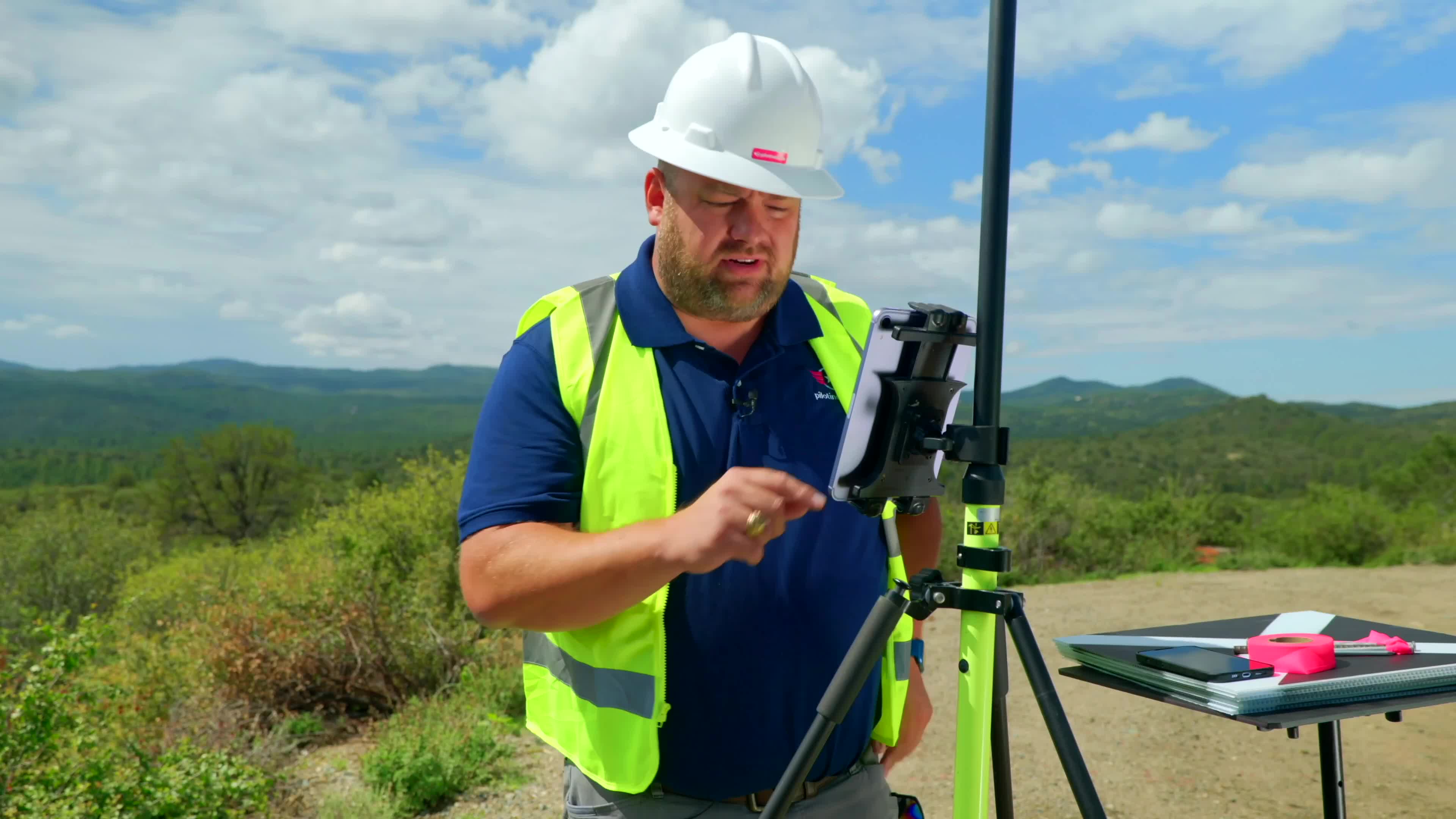
Build Real Skills with Hands-On Practice at Home
Follow along with real project files from the class and learn how to use Jared’s workflows.
Fly to Vegas
Apply your skills hands-on at the world’s largest drone expo with live equipment and expert feedback.
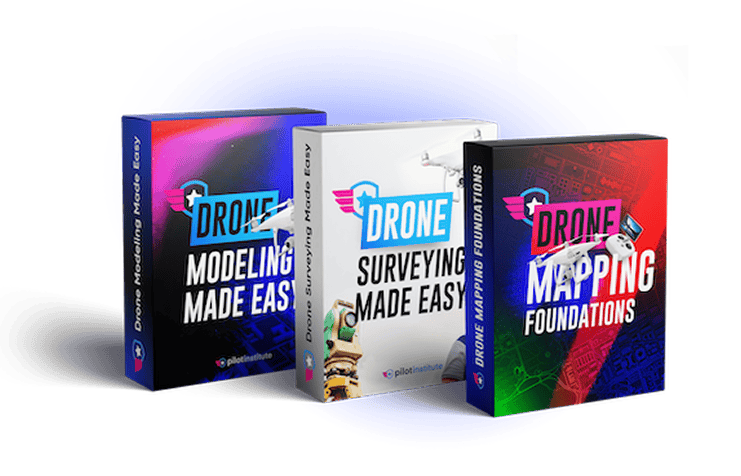
Master Drone Mapping Online at Your Own Pace – $299 Value
Self-paced video training designed for working pilots—learn during lunch breaks, evenings, or weekends
Live Vegas Workshop with Jared – $149 Value
2 hours of intensive, hands-on training where theory meets real-world application
Leave with Jared’s complete workflow templates, processing checklists, and client proposal examples
Plus: Priority access to future advanced workshops and ongoing support community
Exclusive Expo Access for Vegas Workshop Attendees – $200 Value
Vegas Workshop package includes full access to Commercial UAV Expo—the world’s premier commercial drone event
Connect with other successful mapping professionals, find potential partners, and discover new market opportunities.
See drones, sensors, and processing software in-person before you buy. See live demonstrations of select equipment.
Watch real mapping workflows in action. Attend sessions on regulation updates, market trends, and emerging opportunities. Get insider knowledge on which services are in highest demand.
3-day expo hall access (normally $200) included FREE with your workshop registration
Note: Expo access is only available to Online + Vegas Workshop participants. Online-only students do not receive expo access.
Complete Training Package Value
Here’s everything you get when you join the Online + Vegas Workshop:
- Complete Online Training (3 Courses, 9.5 Hours) $299
- Live Vegas Workshop with Jared (3.5 Hours) $149
- 3-Day Commercial UAV Expo Pass $200
- Private Mapping Community Access $50
- Project Files & Templates $100
- Lifetime Course Updates and Workshop Recording $75
- Total Retail Value: $873
$399
Save Over $470
⚡ Only 50 Vegas workshop seats avaliable • Limited time pricing
Discounted Hotel Rates
Commercial UAV Expo has secured discounted rates at Harrah’s Hotel. The hotel is a short walk to the Caesars Forum where the conference is held, and reservations are managed through onPeak, the official housing partner for the expo.
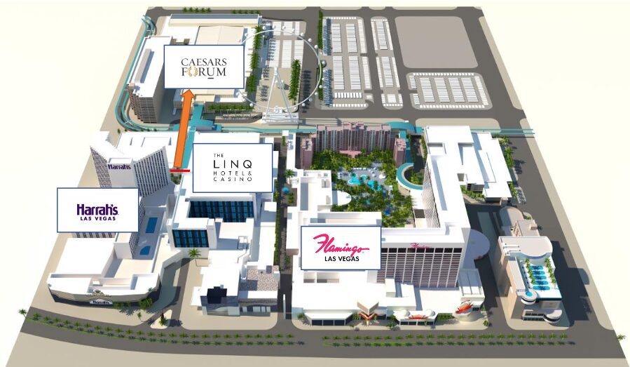
View Hotel Rates
Choose Your Training Path
Start with complete online mastery, then add hands‑on Vegas experience
“I’ve taken all 3 courses and they’ve been incredibly helpful. I have pages of notes and information, half of which I came into the course knowing absolutely nothing about.”
Frequently Asked Questions
Any drone works, but you’ll get better results with mechanical shutters like Phantom 4 Pro or Mavic 3 Enterprise.
Any drone works, but you’ll get better results with mechanical shutters like Phantom 4 Pro or Mavic 3 Enterprise.
Given the extremely limited number of seats available, this will not be possible.
If you have purchased the drone mapping online class before we can provide you with access to the workshop recording + Commercial UAV Expo hall access for an additional $50. It will not be possible to attend the in-person workshop because of the limiting seating but the recording will be made available for you.
DroneDeploy, Metashape, Pix4D, QGIS, Virtual Surveyor, Bentley ContextCapture, and more.
DroneDeploy, Metashape, Pix4D, QGIS, Virtual Surveyor, Bentley ContextCapture, and more.
Yes – expo passes sell for $200 at CommercialUAVExpo.com. You’re getting it included free with the
workshop.
The Expo pass provides hall access only and does not provide access to all of the other workshops at the event with the exception of the in-person drone mapping session.
Yes – expo passes sell for $200 at CommercialUAVExpo.com. You’re getting it included free with the
workshop.
The Expo pass provides hall access only and does not provide access to all of the other workshops at the event with the exception of the in-person drone mapping session.
When you signup you will instantly get access to our online portion which you can begin immediately. It’s best to sign up as soon as possible because of the limited number of seats.
To get the biggest impact from the in-person workshop, you should complete the online portion ahead of time.
When you signup you will instantly get access to our online portion which you can begin immediately. It’s best to sign up as soon as possible because of the limited number of seats.
To get the biggest impact from the in-person workshop, you should complete the online portion ahead of time.